Today we are going to visit one of the most visited areas of Israel: The Dead Sea and the desert of Judea.
The Dead Sea (Hebrew: יַם הַמֶּלַח, Yam hamMelaḥ; Arabic: اَلْبَحْرُ الْمَيْتُ, Āl-Baḥrū l-Maytū), also known by other names, is a salt lake bordered by Jordan to the east and the West Bank and Israel to the west. It lies in the Jordan Rift Valley, and its main tributary is the Jordan River.
As of 2019, the lake's surface is 430.5 metres (1,412 ft) below sea level,[4][5] making its shores the lowest land-based elevation on Earth. It is 304 m (997 ft) deep, the deepest hypersaline lake in the world. With a salinity of 342 g/kg, or 34.2% (in 2011), it is one of the world's saltiest bodies of water[6] – 9.6 times as salty as the ocean – and has a density of 1.24 kg/litre, which makes swimming similar to floating.[7][8] This salinity makes for a harsh environment in which plants and animals cannot flourish, hence its name. The Dead Sea's main, northern basin is 50 kilometres (31 mi) long and 15 kilometres (9 mi) wide at its widest point.[1]
The Dead Sea has attracted visitors from around the Mediterranean Basin for thousands of years. It was one of the world's first health resorts (for Herod the Great), and it has been the supplier of a wide variety of products, from asphalt for Egyptian mummification to potash for fertilisers. Today, tourists visit the sea on its Israeli, Jordanian and West Bank coastlines. The Palestinian tourism industry has been met with setbacks in developing along the West Bank coast.
The Dead Sea is receding at a swift rate; its surface area today is 605 km2 (234 sq mi), having been 1,050 km2 (410 sq mi) in 1930. Multiple canal and pipeline proposals, such as the scrapped Red Sea–Dead Sea Water Conveyance project,[9] have been made to reduce its recession.
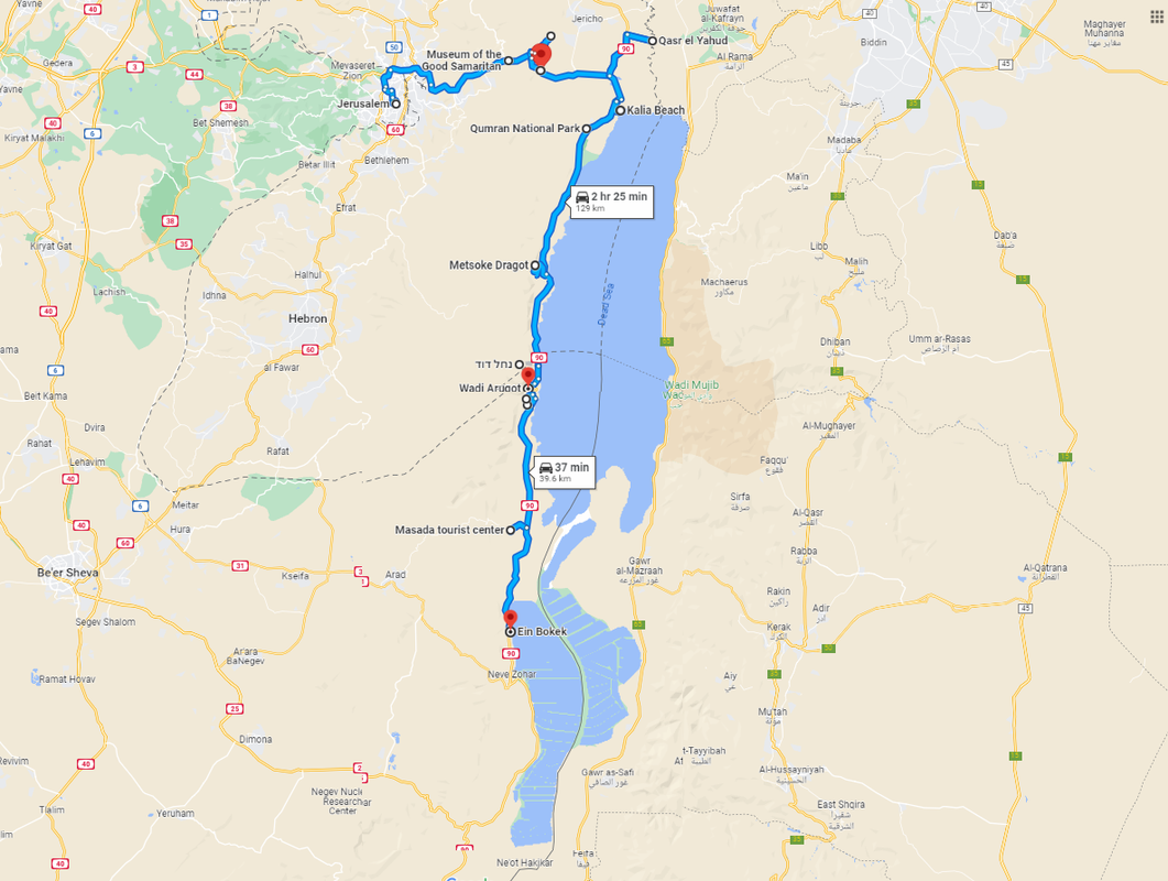
Today we will visit a number of places on our way to the Dead Sea, but not all of them. I had to choose the most interesting places, and those that are not too far out of the way. Additionally, since the area is at the border between Israel and the Palestinian Authority, I also refrained from putting into this itinerary, places that could be dangerous to people coming from the Israeli site. One of the examples for this is the Allon Road, which falls into two of the categories above: it is both completely out of our way to the Dead Sea, making it longer in around 100Km, and also passes through a number of places that can, at some times, be hostile. It is a beautiful road, taking us from Kfar Adumim to Fatza'el, but we are going to give up on it this time.
Our first stop: Museum of the good Samaritan
We will leave Jerusalem, our last article's end, with Road 1, in the direction East to the Dead Sea. Our first stop will be in the Museum of the Good Samaritan.
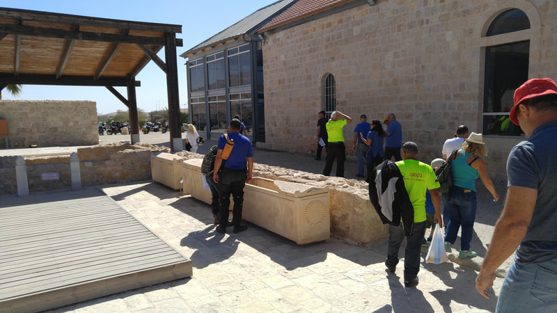
The Museum of the Good Samaritan is named after the parable of the Good Samaritan, which is a well-known story from the Bible. The parable appears in the Gospel of Luke, and it tells the story of a man who was traveling from Jerusalem to Jericho and was attacked by robbers. The man was left wounded and lying by the side of the road, and several people passed by without helping him. Finally, a Samaritan, who was considered an outsider by the people of Jerusalem, stopped to help the wounded man. The Samaritan treated his wounds, took him to an inn, and paid for his lodging until he was well.
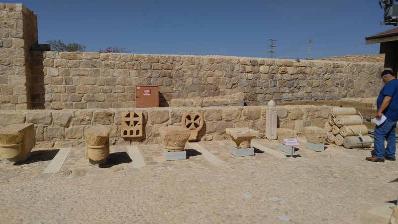
The parable of the Good Samaritan is often used to illustrate the importance of showing compassion and helping those in need, regardless of their background or social status. The Museum of the Good Samaritan, which is located in the town of Ma'ale Adumim in Israel, displays archaeological artifacts related to the parable and its historical context. The museum aims to promote the values of kindness, compassion, and helping others, which are at the heart of the story of the Good Samaritan.
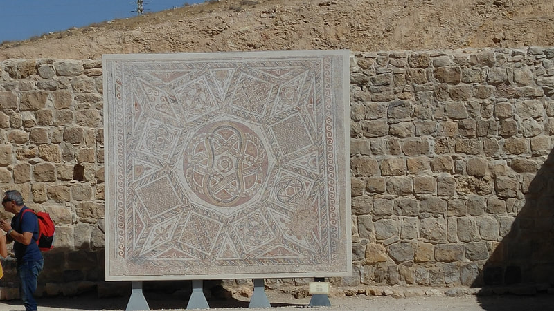
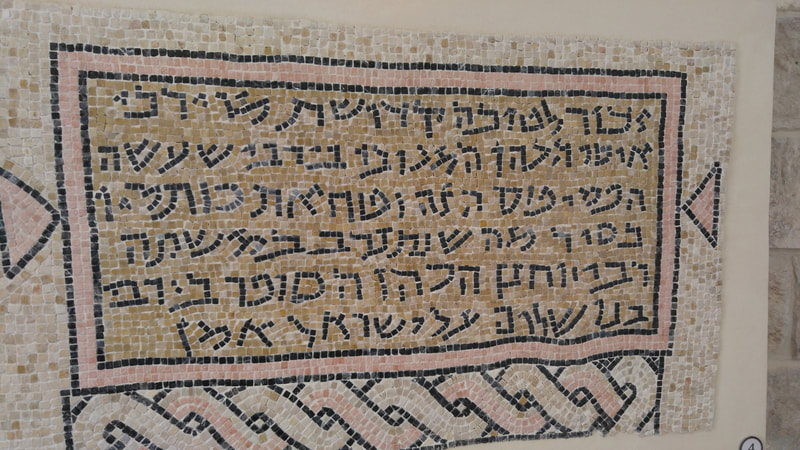
In this place there have been extended archaeological excavations over the last one hundred years, and a substantial number of antique mosaics have been found and are in exhibition there. The place is worth the visit. Entrance costs 22 NIS (USD 6.04 at the time of this writing) and it is open Sat-Thu 8:00-17:00 (16:00 on Fridays) in the summer, closing 1 hour earlier than this in the winter.
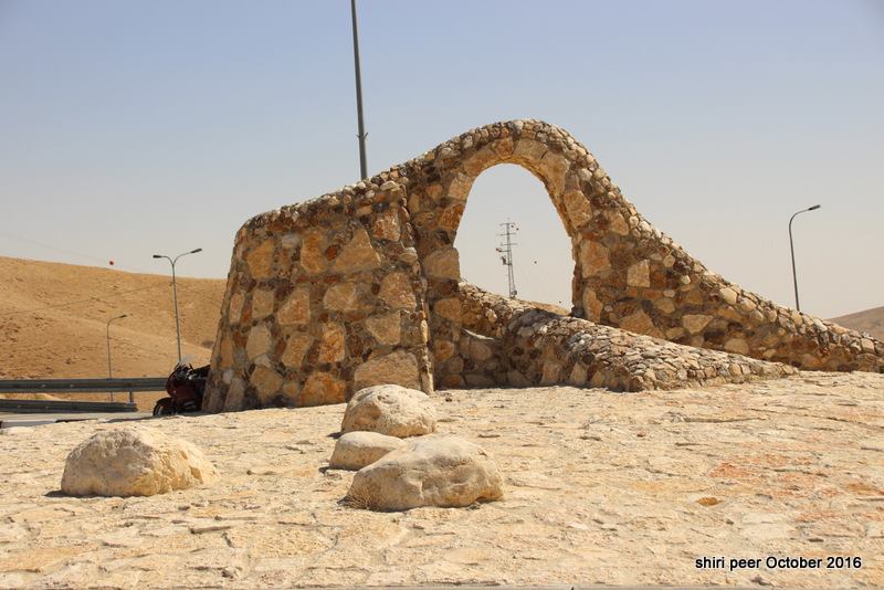
(thanks to Shiri Peer for one of the pictures here.
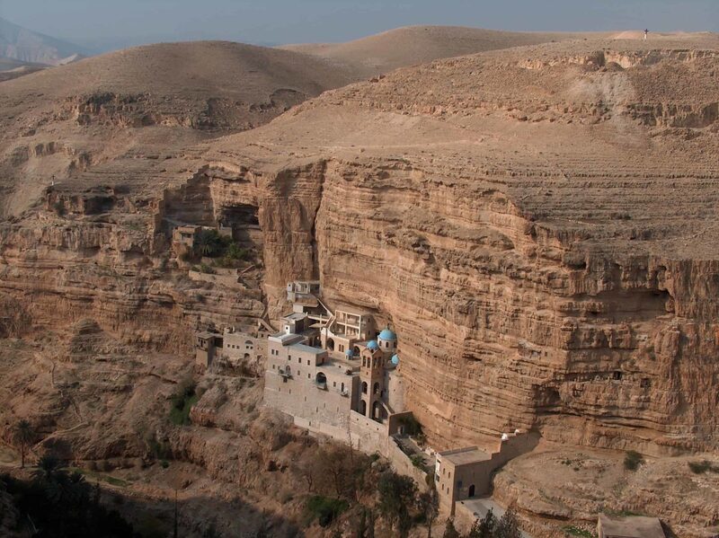
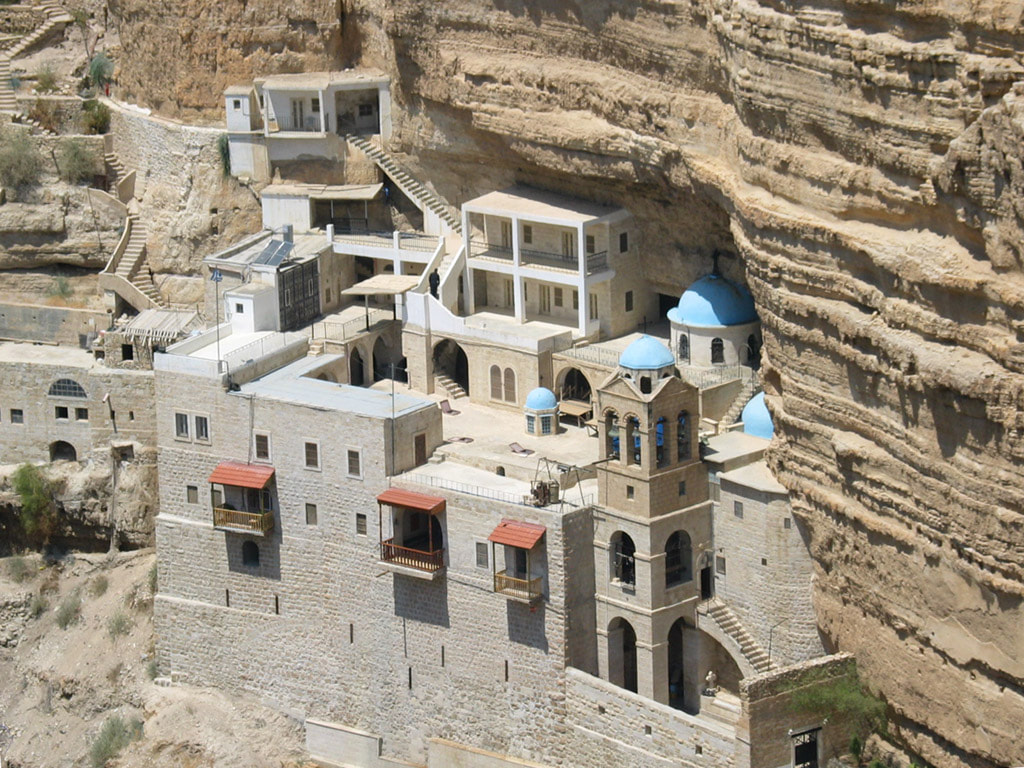
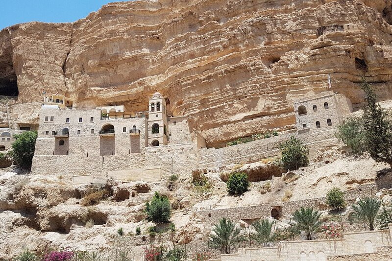
Now we are going to visit something that is really extraordinary, the Saint George Monastery.
From Wikipedia:
The Monastery of Saint George of Choziba (Arabic: دير القديس جورج, Greek: Μονή Αγίου Γεωργίου του Χοζεβίτου), also known as Monastery of Choziba (or Hoziba) or Mar Jaris,[1] is a monastery located in Wadi Qelt in Area C of the eastern West Bank, in the Jericho Governorate of the State of Palestine. The cliff-hanging complex, which emerged from a lavra established in the 420s and reorganized as a monastery around AD 500,[1] with its ancient chapel and irrigated gardens, is active and inhabited by Greek Orthodox monks. It houses the relics of Saint George of Choziba, after whom the monastery is named, as well as the relics of Saint John of Choziba[2] (420/450-520/530) and those of Saint John of Choziba the Romanian [ro] (1913-1960)
The monastery is reached by a pedestrian bridge across Wadi Qelt, which many believe to be Psalm 23's "valley of the shadow of death".[3] The valley parallels the old Roman road to Jericho, the backdrop for the parable of the Good Samaritan (Luke 10:29–37). The monastery is open to pilgrims and visitors.[4]
Established during the Byzantine period near Jericho, it was destroyed by the Persians in AD 614, rebuilt in the 12th century during the Crusader period, abandoned after their defeat, and rebuilt again by Greek monks starting at the end of the 19th century. The location of the monastery has been associated with the lives of Elijah and that of the parents of the Virgin Mary. That, allied with the Eastern Orthodox saints whose relics are kept in the monastery, both make it a site of intense pilgrimage.
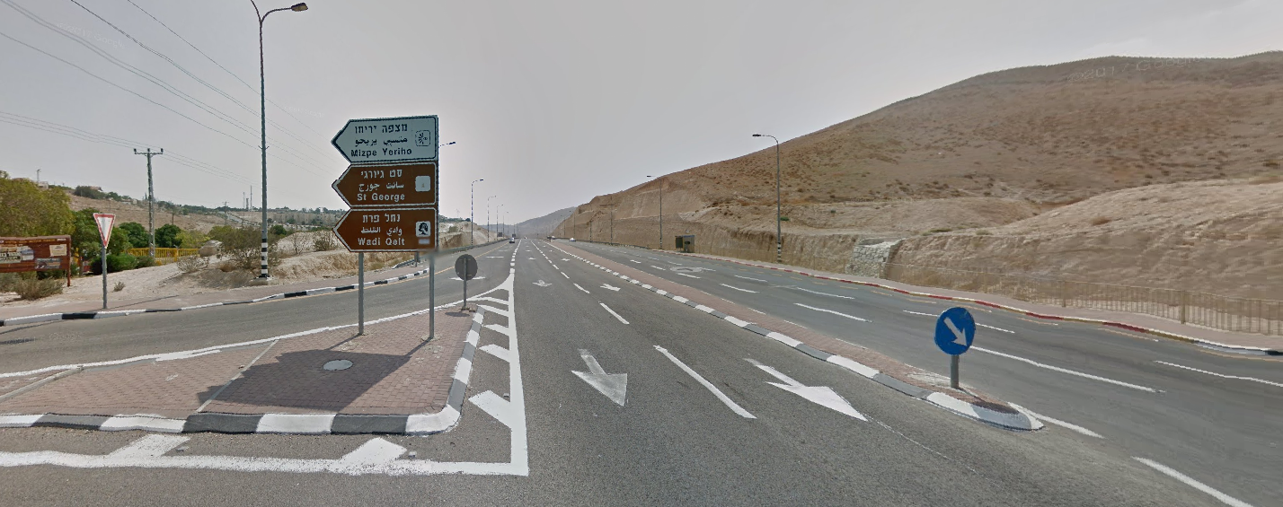
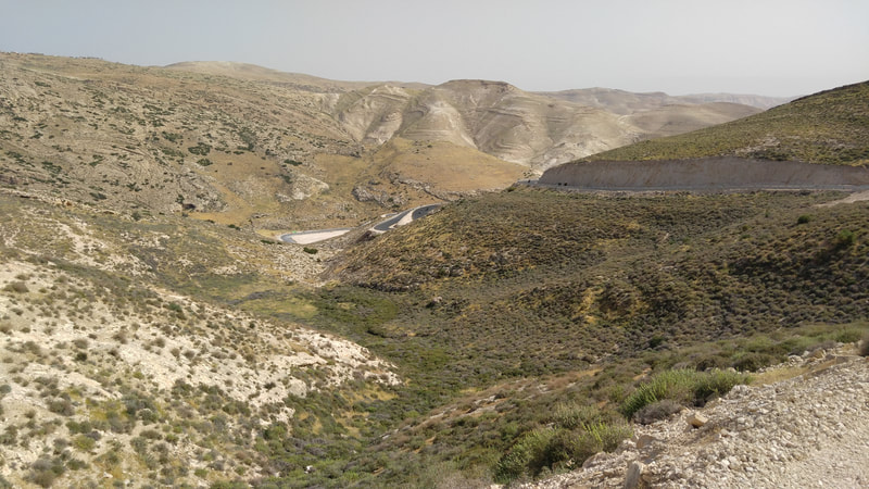
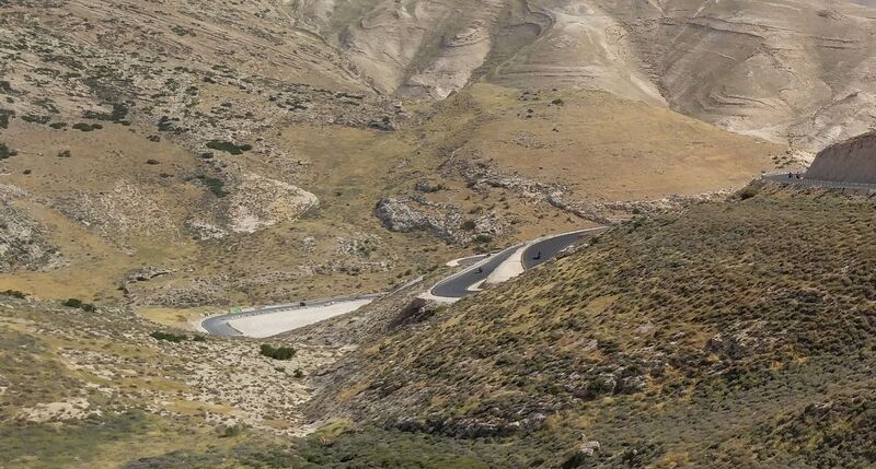
Here are some pictures of the road to St. George and the monastery itself. And the map.
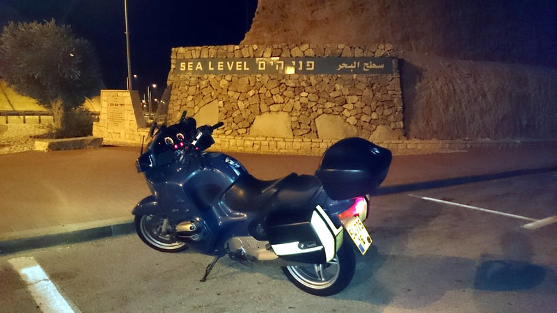
In the beginning of this article, we talked about the Dead Sea being 430 meters under sea level. This means that in our descent to there, we will definitely cross Sea Level.
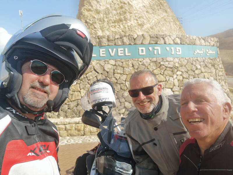
On your ride, we can watch for signs in the mountains around the road that indicate our height compared to Sea Level. These are usually blue lines with the number that indicates the height. You will see it going down, 400, 200, 100... at Sea Level, we will find not only a sign, but a parking space in the road for whoever wants to take a selfie in front of it.
In the second picture, the selfie, I am on the left, a friend of mine, Shmil Afias, who is a certified Israeli tour guide is in the ride, and in the middle, we have Armin Talhoffer, the world traveler, who visited Israel in 2019, as part of his project of riding around the world with his BMW R1200GS. Israel was in the beginning of his way; he left Germany to Israel and from here to Africa and South America. Unfortunately, in 2020, COVID got him stuck in Colombia, and at some point, he had to join one of those German rescue flights for their citizens and return home. I have on this site a blog entry of his visit here. He also has that visit registered in his blog.
Remember that in our article about the Lower Galilee we passed through a site called Yardenit, and I explained that although this site claims to be the site of Jesus baptism by St. John, the traditionally accepted site is a different one, quite southern from that one, nearly at the Dead Sea?
OK, now we are heading to this site.
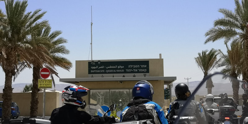
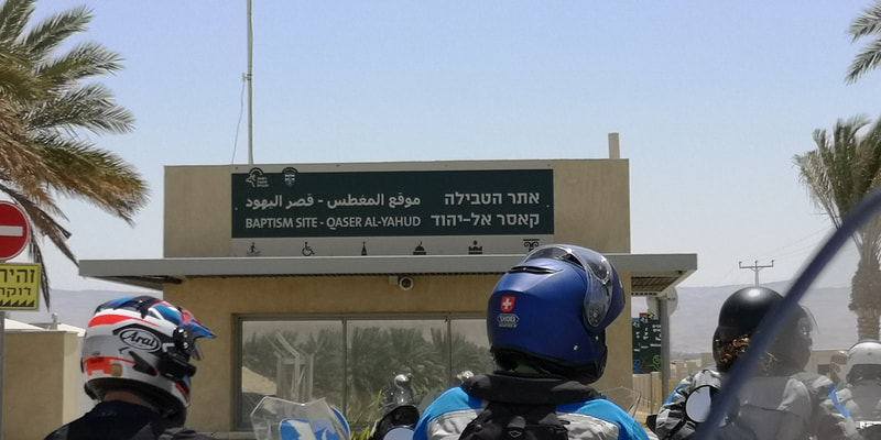
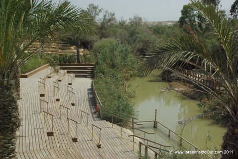
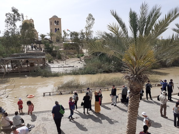
Qasr Al-Yahud is the Arabic name for the place - this would translate in English to "Jews Palace". It is at the border of the Jordan Riber, some Kilometers of the river's estuary to the Dead Sea. From one border of the river we can see the other border, that one already in Jordan. The Jordanians also created a visitation site on their side. The place is considered to be the correct place where Jesus's baptism by St. John has occurred. There are a series of churches from different branches of Christianism around and along the Jordan river near to this point.
In case you are Christian and want a special baptism, this is the place to change clothes and enter the river. In any other case, it is definitely an interesting visit - and usually you will find at the place groups of religious people that come to baptize themselves.
The next place in this article is a place which you will most probably not visit.
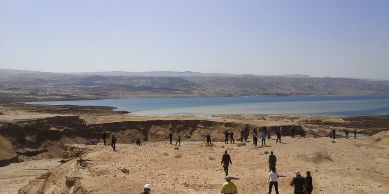
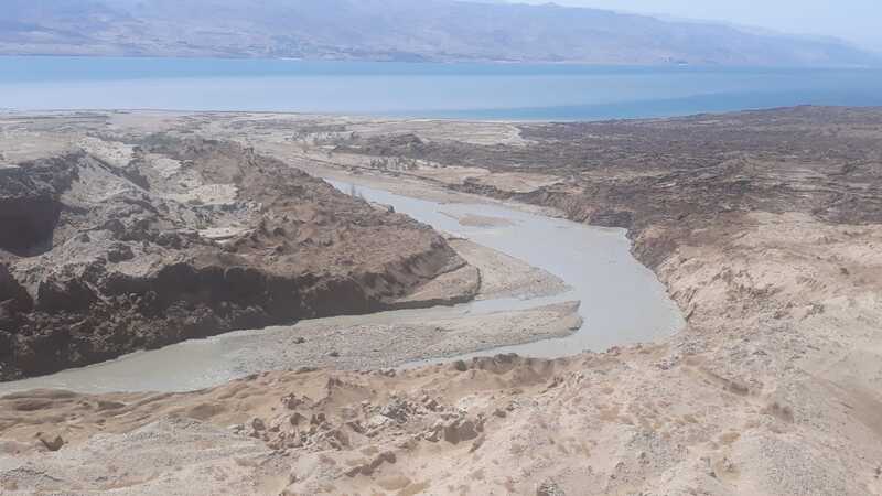
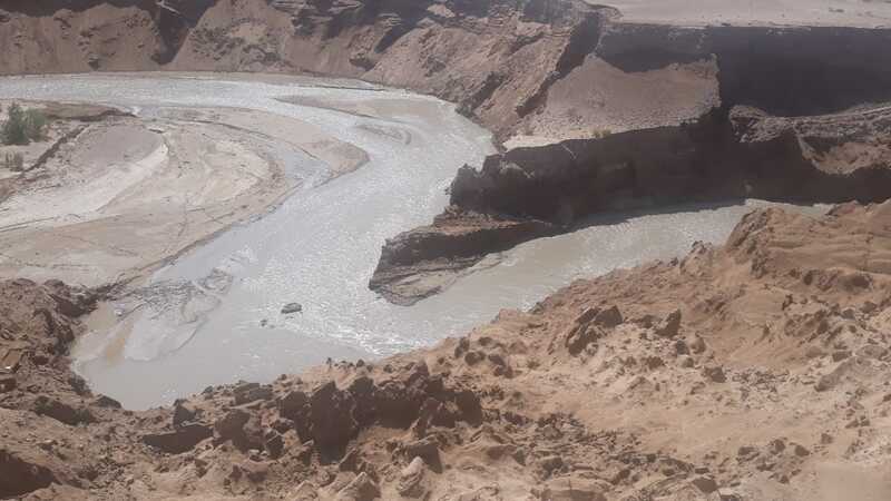
The reason for that is that the place is in a military border road in the border with Jordan, and the access to the reserve is open only in special occasions and events, or if you are in a group with a guide that has access to the military and can set a visit with military escort.
However, I decided to include this point in this article just for you to see how beautiful and strong it is. If you find a way to visit it, good for you. If you don't, at least you have seen the pictures here.
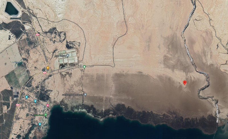
I can't even provide a map with directions for that exact point, since there are no real roads getting there, but I will try to mark on a map the approximate point. I am showing the map in the last picture below, as a satellite view, so that you can see the sand path that takes us there, because it is not even marked int the map.
Well, time for some fun.
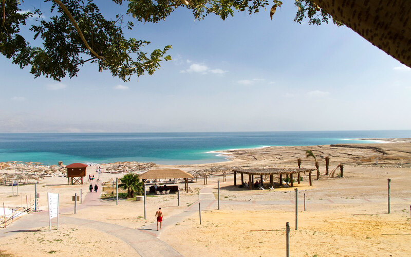
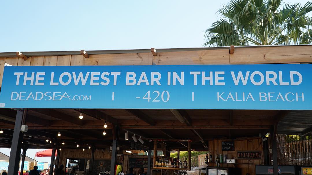
We will now enter Kalia beach, where we can have some drinks at "The Lowest Bar in the World", have lunch at the beach restaurant, and have the experience of swimming (or more accurately, floating) in the waters of the Dead Sea.
We will exit Qasr Al-Yahud (or the Jordan River Estuary, in case we managed to get there) and take Road 90 to the South. Some kilometers later, we will see the signs pointing to exit the road to the left to Kalia Beach.
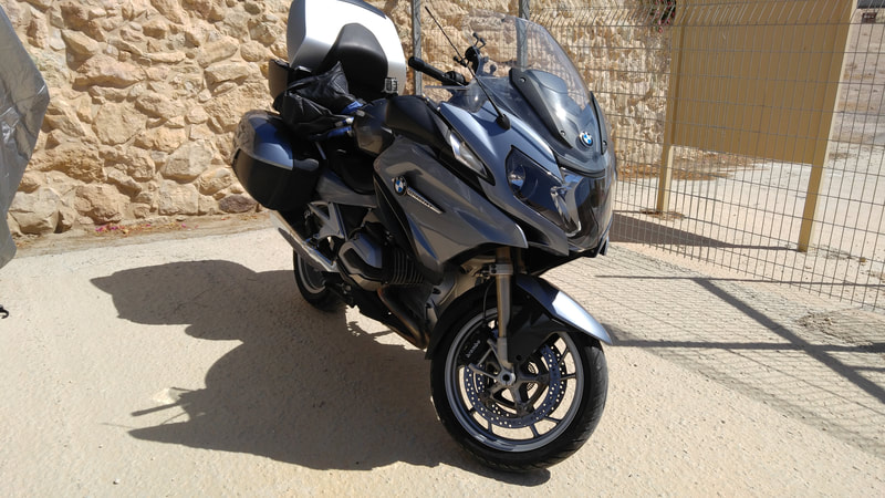
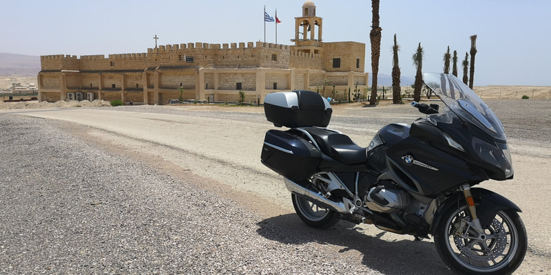
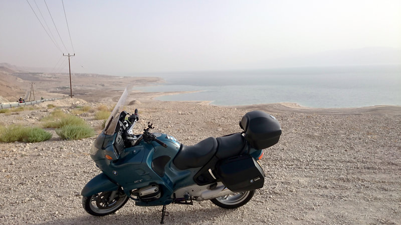
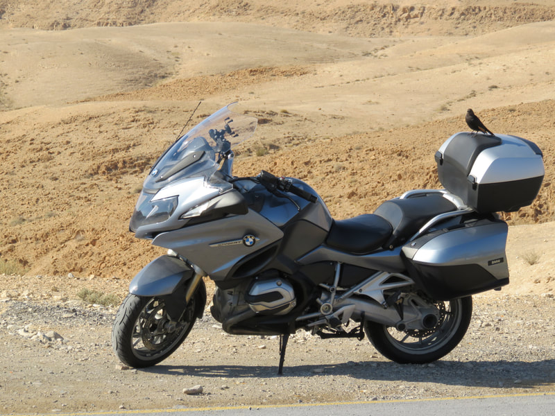
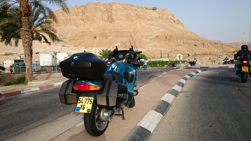
Road 90 is the road we will follow around the Dead Sea. It goes with the Israeli margin of the lake. The other side is the Jordanian margin, as we have already seen in Qasr Al-Yahud. It is a great road to ride, with twists and at some points, stunning views, like the one in the first picture below of my bike at the background of the Dead Sea.
Kalia Beach and two other smaller sites bordering it are the last beaches in the North of the Dead Sea that are still available to the public. In the past, those were small beaches with low frequency, and the two bigger beaches in the area were Mineral Beach and Ein Gedi beach. However, both these beaches suffered from sinkholes in the last years and became dangerous to the public, therefore were closed by authorities - an action that changed the focus of all the tourists and families going to the beach there either to Kalia in the North or to Ein Boqeq at the South of the lake.
This will be our first opportunity to lay down at the Dead Sea and understand the phenomena of that very salty water, which keeps a body like ours afloat, and can also heal skin diseases. The water is salty up to the point that it becomes greasy. The feeling is quite different than that of swimming in the sea. WARNING!!! Do not try to swallow the water, it will lead to immediate internal dehydration, and you will need medical care. Also, avoid letting it go into your eyes. No jumping, no diving, no underwater swimming.
If you have been following these articles, you will probably remember that in the last article about Jerusalem, we have talked about visiting the Shrine of the Book, the place that holds the Dead Sea Scrolls, the most ancient written document known at these days.
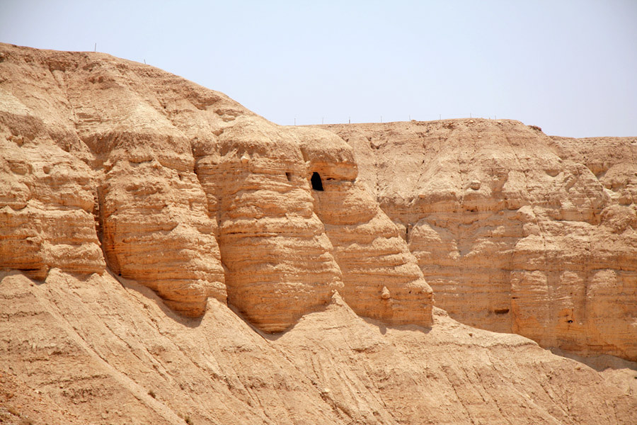
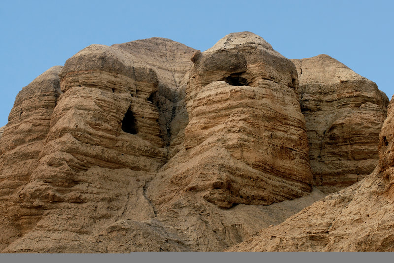
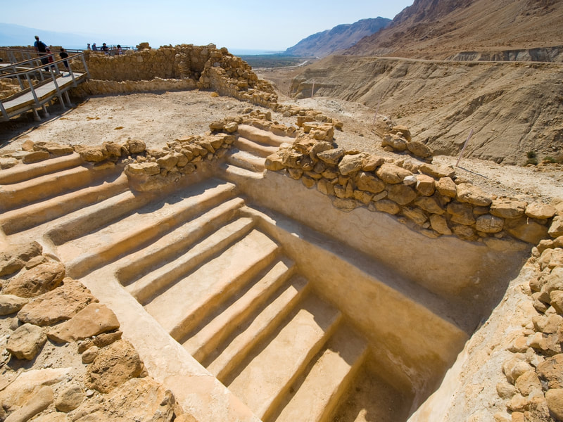
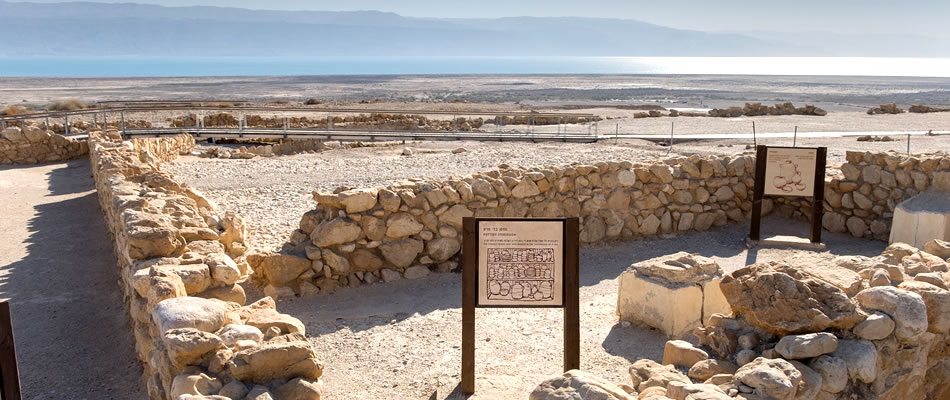
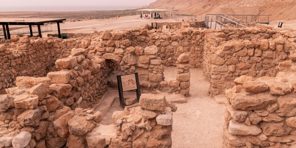
Well, Qumran is the place where these scrolls have been found.
From Wikipedia:
Qumran (Hebrew: קומראן; Arabic: خربة قمران Khirbet Qumran) is an archaeological site in the West Bank managed by Israel's Qumran National Park.[1] It is located on a dry marl plateau about 1.5 km (1 mi) from the northwestern shore of the Dead Sea, near the Israeli settlement and kibbutz of Kalya.
The Hellenistic period settlement was constructed during the reign of Hasmonean leader John Hyrcanus (134–104 BCE) or somewhat later.[2] Qumran was inhabited by a Jewish community of the late Second Temple period, which most scholars identify with the mystic sect of the Essenes; however, other groups were also suggested.[3][4][5] It was occupied most of the time until 68 CE and was destroyed by the Romans during the First Jewish-Roman War, possibly as late as 73 CE. It was later used by Jewish rebels during the Bar Kokhba Revolt.[6] Today, the Qumran site is best known as the settlement nearest to the Qumran Caves where the Dead Sea Scrolls were hidden, caves in the sheer desert cliffs and beneath, in the marl terrace. The principal excavations at Qumran were conducted by Roland de Vaux in the 1950s, and several later digs have been carried out.
Since the 1967 Six Day War, Qumran has been managed by the Israel Nature and Parks Authority.
There you can either see the museum of exhibits from the area and roam though the archaeological excavations or take a guided tour through the park.
Our next stop is Dragot Cliff - a point from which you can have a stunning view of the Northern Dead Sea.
The place is also the home of some nice lodging options (which, I believe, are too early to use, unless you are planning to stay some days in the area), some cafes and restaurants, and even one winery. But the best thing to do there is walk and see the view, and there are some trails for walking and maybe riding.
Depending on how much you like to walk around, you can stay in the area from 15 minutes to 2 hours. Take this into account when you plan your day.
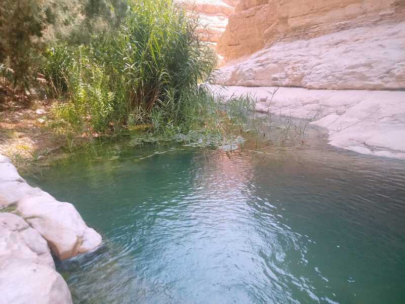
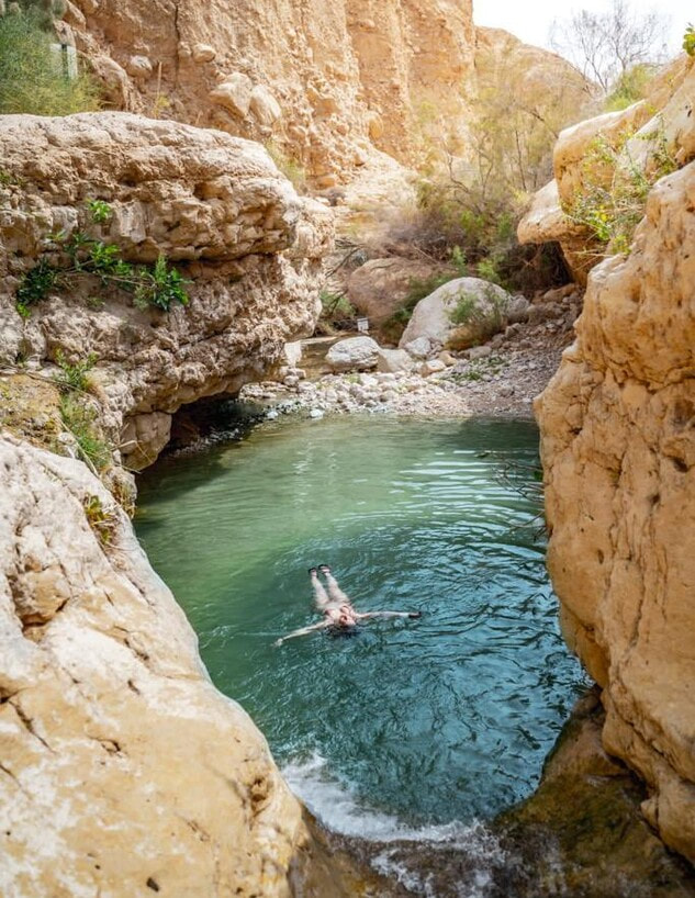
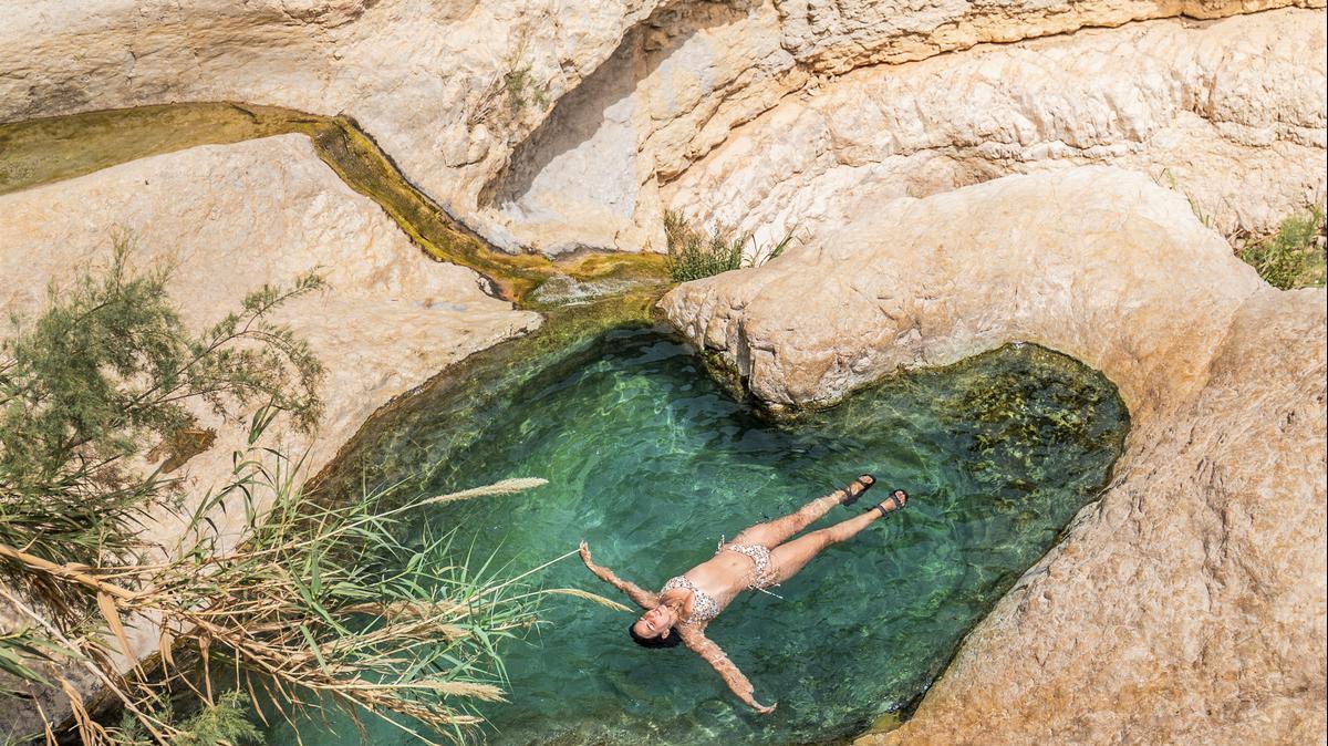
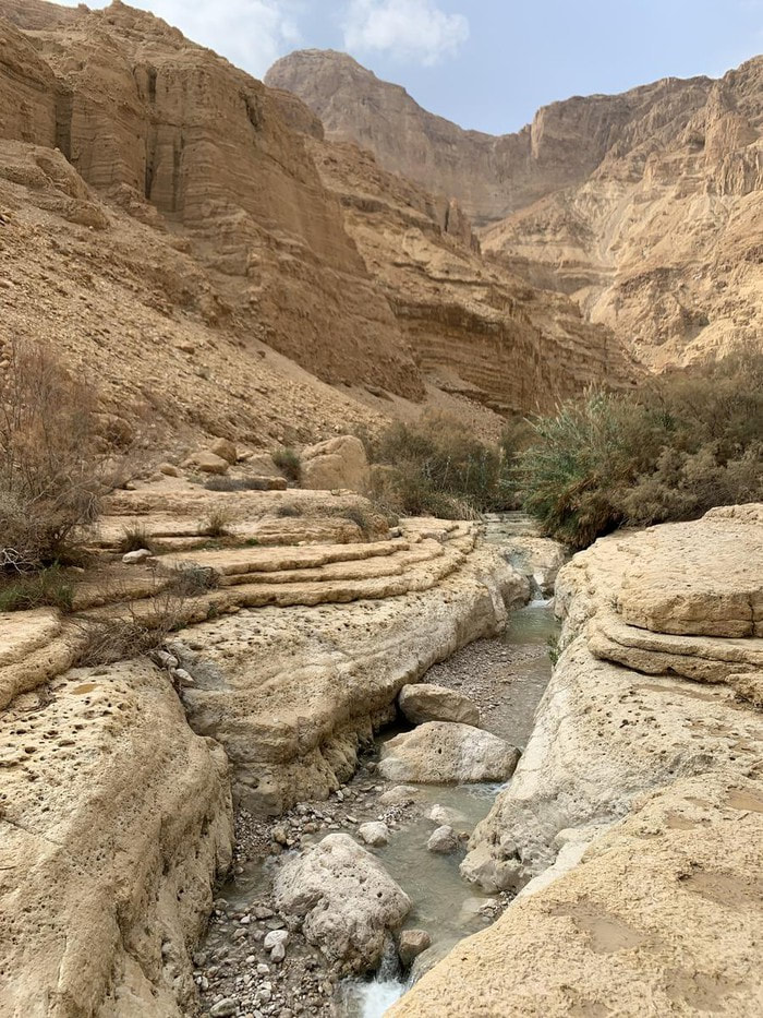
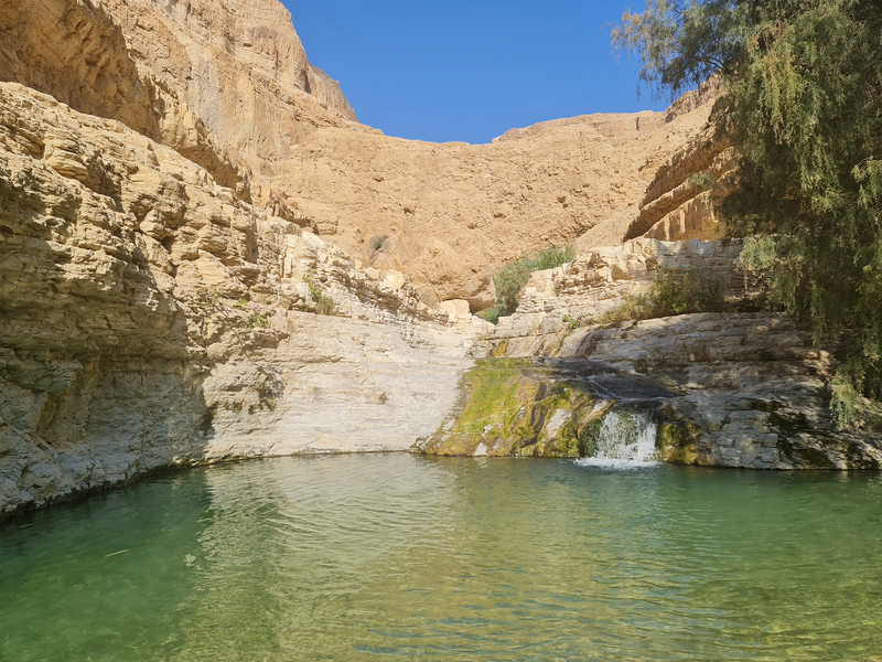
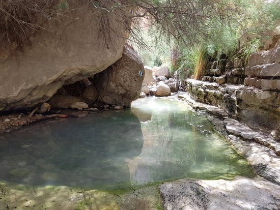
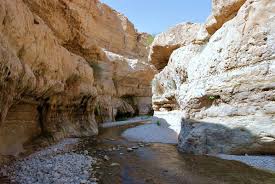
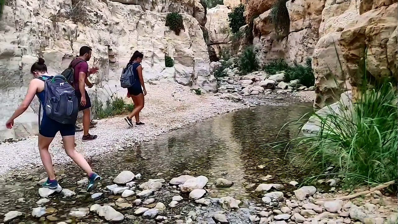
David River (in Hebrew Nahal David) is one of the nice and beautiful places to have a walk. The river flows also during the summer (little flow though) and creates some pools in the rocks in which you can even bathe. The walk to the pools is around one hour and a half in each direction, so take this into account.
The way to Nahal David from our last stop in Dragot takes around 20 minutes, some 18 Km from there. You will be able to leave the motorcycles at the parking lot and walk inside - there is no entry for the motorcycles.
Especially if you are coming in the summer, take a good amount of water with you - it can be hot there, and it is extremely easy to dehydrate. It is also advisable not to walk in the area alone, so one can have someone else with him/her in case of dehydration.
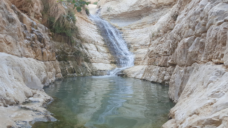
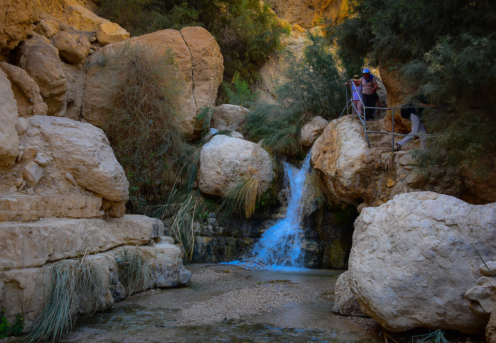
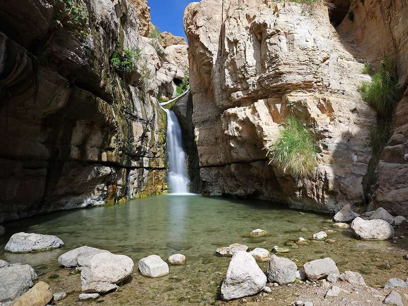
Arugot River (in Hebrew "Nahal Arugot, נחל ארוגות, or also known as Wadi Arugot) is an alternative or an addition to Nahal David. Both are in the same region, 3.5 Km one from the other, both are river streams, both are beautiful. Nahal Arugot presents one rather big waterfall for the area with a beautiful pool to take a bath.
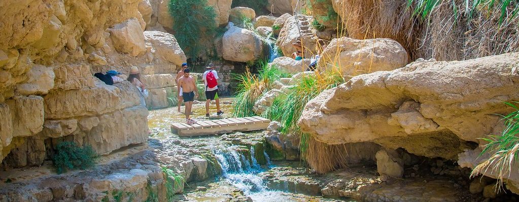
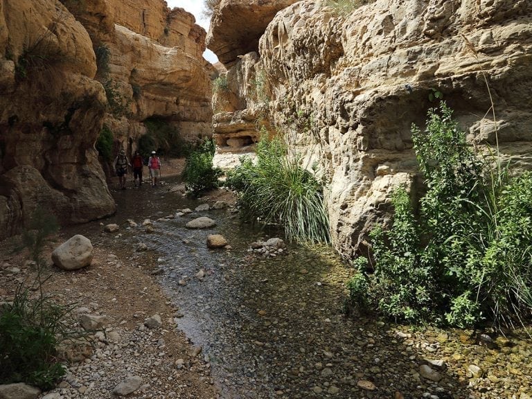
I have been to David River only once, and to Arugot some 5-6 times. You have two ways to walk in this reserve: the first is upon the cliffs that surround this narrow valley, and then go down to the valley when you reach the pool or hear the waterfall. The other way is to walk through the stream the whole way. Usually, I would reach the pool from the cliffs above it, and return through the water stream, so I had both the experiences and didn't get too much sun upon my head.
The care of taking enough water with you is the same as in Nahal David. Avoid the risk of dehydration.
As in the case of Nahal David, there is no entry to cars or motorcycles there. You will have to leave the motorcycles in the parking lot and enter on foot. The trail to the waterfall takes around 1.5 hours in each direction.
My personal opinion: if you have time to do only one of them, choose Arugot. It is much more interesting, in my opinion, than Nahal David.
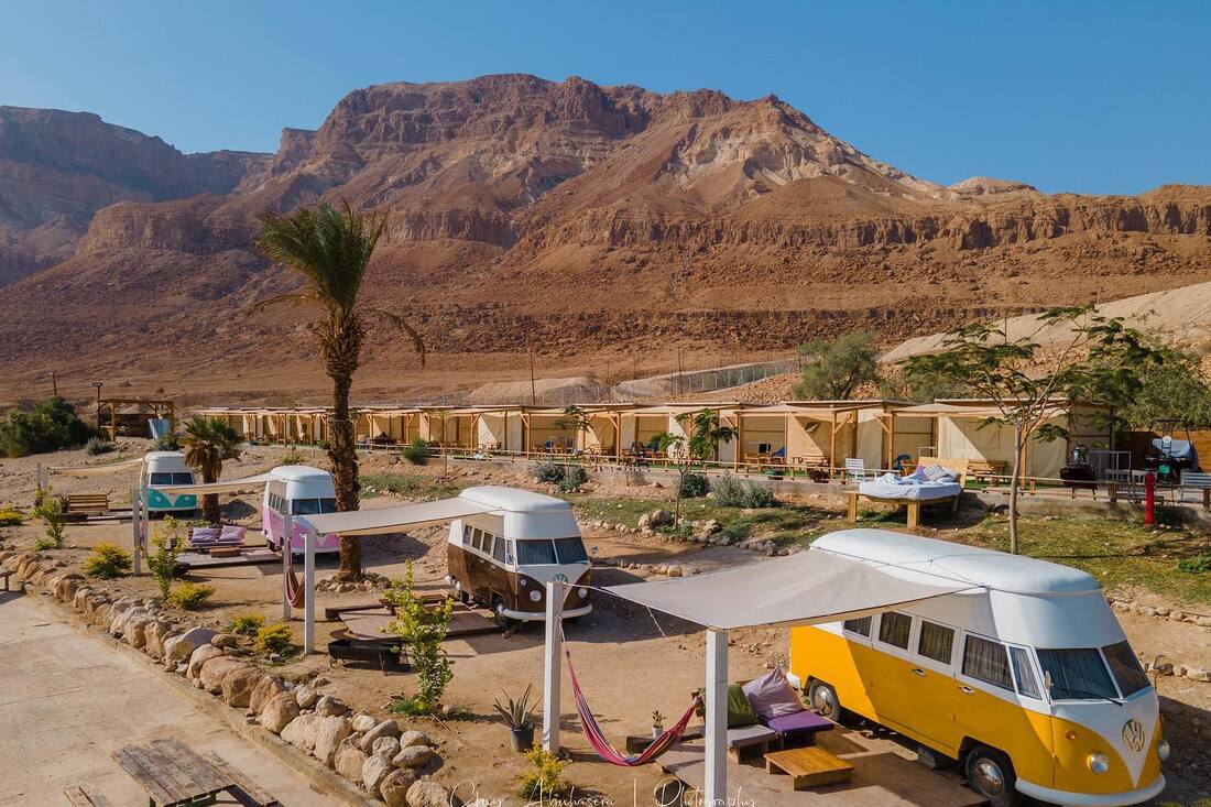
If you have done all the stops that I suggested above, you might now be reaching the end of the day. In this case, or in case you don't want to take hotels, the Ein Gedi Camp Lodge is extremely near and a good option for sleeping. You can camp there with tents, in some small cabins, or in remarkably interesting cabins built inside old VW Transporters.
If you are not near the end of the day yet, and are ready to continue to the next spot, just bypass this one and continue on Road 90 to the South.
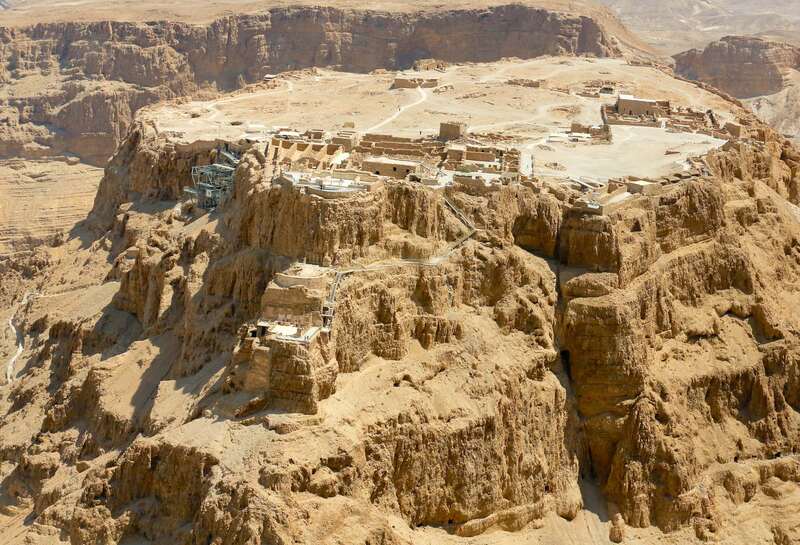
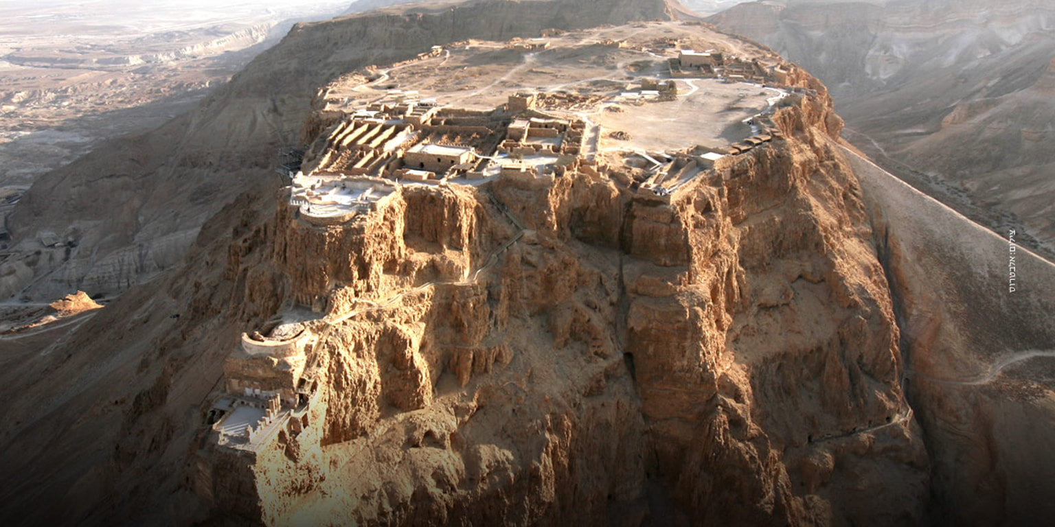
Another 19 Km South of the Ein Gedi Camp Lodge, you will find Masada, the historical site.
For those who did not live at the 1970s and haven't seen the movie, Masada was the site of the last battle between the zealots Jews and the Romans when they conquered the holy land.
The site was first fortified by Hasmonean ruler Alexander Jannaeus in the first century BCE. However, so far, no Hasmonean-period building remains could be identified during archaeological excavations. Herod the Great captured it in the power struggle that followed the death of his father Antipater in 43 BCE.
The site is completely built upon the cliff in the middle of the desert and had place to keep and feed some thousands of people. Despite the placement in the desert, an intelligently built system of cisterns could accumulate the water of the rains and rivers in the winter to provide drinking water for all the year, to all the population.
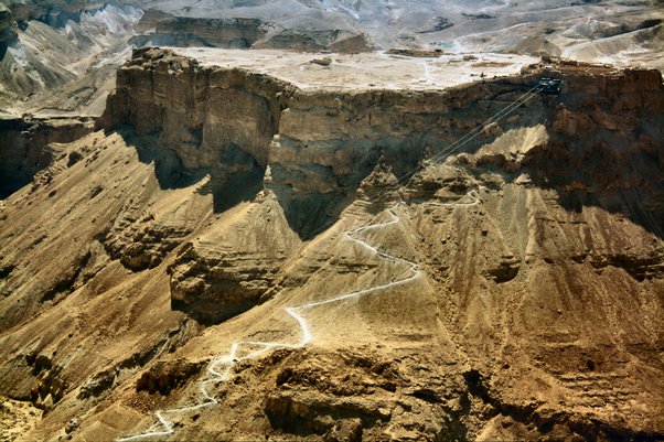
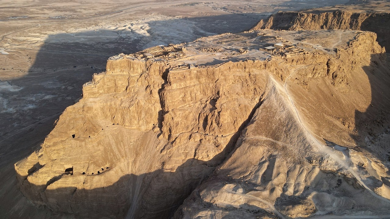
In the last Jewish-Roman war, the governor of Judea, Lucius Flavius Silva, determined and commanded the siege of Masada, to conquer the place and take the zealots led by Elazar Ben Yair imprisoned. The siege took place between 73 and 74 CE. After understanding that they wouldn't be able to conquer the place through the existing path up the mountain (nowadays known as the Snake Path), they decided to build a straight path at the back of the mountain for fast access (nowadays known as the Roman Path). Documentation written by Josephus at the time tells that the romans used for the works Jewish captured slaves from Jerusalem, and that prevented the zealots from killing them and resisting the building of the path. When they arrived at the top of the mountain, the romans found only a giant graveyard, since Elazar Ben Yair managed to convince the people that, rather than falling into slavery, it was better that every father killed his family and then all the fathers would kill one another until the last one would be left alone and kill himself.
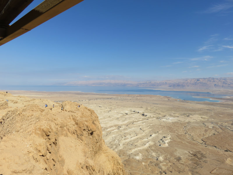
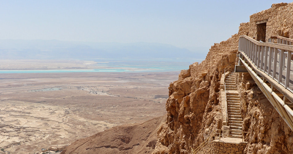
Today, Masada is a busy tourism point and archaeological excavations center. As a tourist, you will be able to see the two castles built by Herod the Great, the cistern system, the bath house, housings of the people, storerooms, and many other constructions that were recovered. That and the stunning view of all the Dead Sea area.
Among the Israeli motorcyclists, for many years there was a tradition of travelling to Masada in the night of the Jewish New Year (in September) for seeing there the first sunrise of the year. But the thing became too big to manage, with dozens of thousands of participants, so there is not an organized initiative anymore. Nowadays, riders that want to see the first sunrise divide themselves between Masada and Mt. Bental at the Golan Heights.
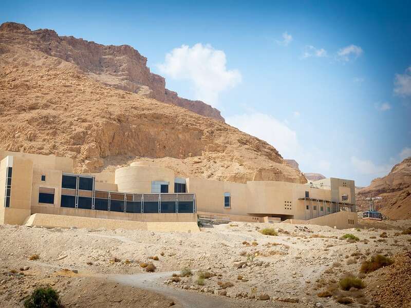
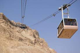
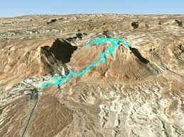
There are three ways to reach the top of Masada:
- The rapid way: Reaching the visitor center and using the cable car.
- The explorer way: Reaching the visitor center and continuing by foot through the Snake Path
- The Roman way: For this way, you will need to travel on the motorcycle on road 90 to the South until you pass Ein Bokek and Neve Zohar, than take road 31 up to the city of Arad (it is a great road for riding, full of twists), and from Arad go into a small road that takes you to the back of the mountain. There you can go up through the Roman Path by foot. It is a fast way up (around 20 minutes), but with an extremely hard inclination. This is usually used by youth going up before sunrise to see the sunrise from above.
Below I will be providing the two maps so you can choose your way.
|
|
|
Ein Bokek
This will be our last stop for today.
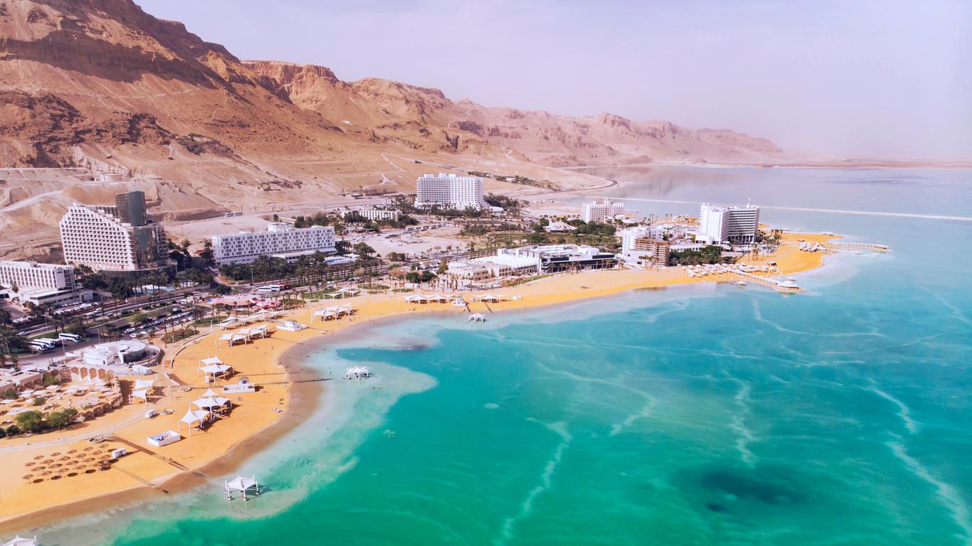
It is the organized beach and hotel area of the Dead Sea. All the hotels in the Dead Sea area are concentrated here, and nowadays the area has the best beach in the region.
You will find here everything, from luxury hotels to simpler and more affordable ones. But prices are not low in any way.
But you will be able to enjoy pools with Dead Sea water, regular pools, spas (in some of the hotels), and the Dead Sea beaches.
If you are coming from Masada Tourist Center, all you have to do is to ride South on road 90 for 17 Km until you arrive at Ein Bokek. In case You are coming from the West Campside, you will return to the exit of Arad to road 31 and drive that curvy road back East and down to the Dead Sea. When going down, don't forget to stop at the viewpoints for some pictures. After you arrive to the Dead Sea, some single kilometers to the North, you will find the entry to Ein Bokek. I am providing the two maps below.
|
|
|

 RSS Feed
