This will be our last post covering the North of Israel, after which we will go South to the center of Israel and to its South. This post will cover the Lower Galilee.
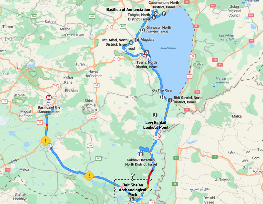
There is a lot to see in the Lower Galilee, so this could be an itinerary for 1, 2 or 3 days depending on the number of points you decide to visit, and the time spent at each one of these points. The bright point is that most of the places to visit (except the last two or three in this article) are remarkably close to each other, so you won't be spending too much time travelling and you can sleep every night at the same hotel. In my opinion, the optimal tour would be divided into two days, one for Tiberias and the Northwest of the Kinneret Lake, and the second day for the Southwest of the lake, South of the lake, and Nazareth. This is the way in which I will compose this article.
In the last article, we finished our itinerary at Tiberias, the city by the seashore of the Kinneret lake (aka Sea of Galilee), so, as expected, we will begin this chapter from the same place.
Tiberias
From Wikipedia:
Tiberias (/taɪˈbɪəriəs/ ty-BEER-ee-əs; Hebrew: טְבֶרְיָה, Ṭəḇeryā; Arabic: طبريا, romanized: Ṭabariyyā) is an Israeli city on the western shore of the Sea of Galilee. A major Jewish center during Late Antiquity, it has been considered since the 16th century one of Judaism's Four Holy Cities, along with Jerusalem, Hebron, and Safed.[3] In 2021, it had a population of 46,698.[2]
Tiberias was founded c. 20 CE by Herod Antipas and was named after Roman emperor Tiberius.[4] It became a major political and religious hub of the Jews in the Land of Israel after the destruction of Jerusalem and the desolation of Judea during the Jewish–Roman wars. From the time of the second through the tenth centuries CE, Tiberias was the largest Jewish city in the Galilee, and much of the Mishna and the Jerusalem Talmud were compiled there.[5] Tiberias flourished during the early Islamic period, when it served as the capital of Jund al-Urdunn and became a multi-cultural trading center.[4] The city slipped in importance following several earthquakes, foreign incursions, and after the Mamluks turned Safed into the capital of Galilee.[4] The city was greatly damaged by an earthquake in 1837, after which it was rebuilt, and it grew steadily following the Zionist Aliyah in the 1880s.
In early modern times, Tiberias was a mixed city; under British rule it had a majority Jewish population, but with a significant Arab community. During the 1947–1948 civil war in Mandatory Palestine, fighting broke out between the Jewish residents of Tiberias and its Palestinian Arab minority. As the Haganah took over, British troops evacuated the entire Palestinian Arab population; they were unable to return after the war, such that today the city has an almost exclusively Jewish population.[6][7] After the war ended, the new Israeli authorities destroyed the Old City of Tiberias.[8][7] A large number of Jewish immigrants to Israel subsequently settled in Tiberias.
Today, Tiberias is an important tourist center due to its proximity to the Sea of Galilee and religious sanctity to Judaism and Christianity. The city also serves as a regional industrial and commercial center. Its immediate neighbour to the south, Hammat Tiberias, which is now part of modern Tiberias, has been known for its hot springs, believed to cure skin and other ailments, for some two thousand years.[9]
One could possibly spend a full day visiting Tiberias, and I won't try to suggest here how much time to spend in every place, except in the places where this is clear.
Tiberias Promenade
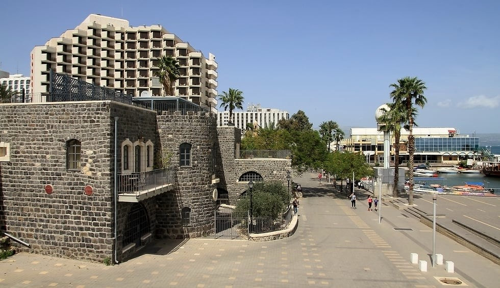
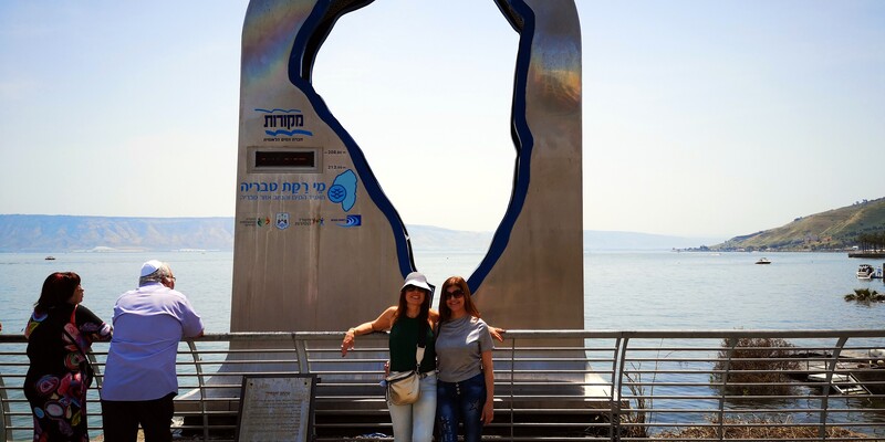
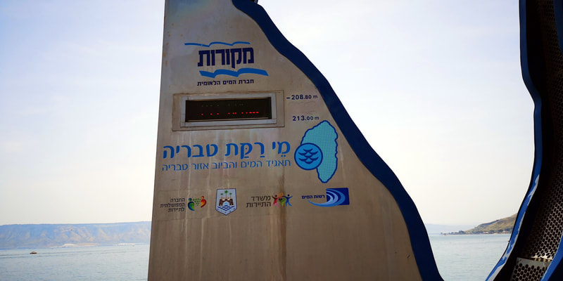
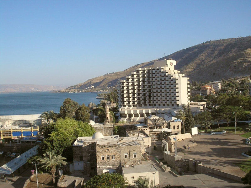
The first thing one will probably do when arriving in Tiberias is a walk along the Tiberias promenade, and maybe a meal there. The Tiberias promenade is at the shore of the Kinneret, and there you can find a variety of restaurants, and some things to see, like the Kinneret level surveyor (a point in which you can see the current level of the waters of the lake), and some other things that vary according to the year and season. You will also see there the famous hotel Caesar Premier, the first large hotel in the city and still one of the good hotels there. Continuing walking to the North will take you to a new area full of new hotels. From the promenade you can also take a boat tour at the Kinneret Lake.
If you don't want to eat a full meal, the promenade is only 2-3 blocks from the center of the city, where you can find shops serving Falafels and Shawarma.
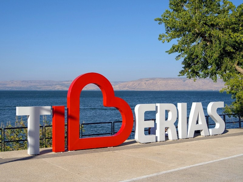
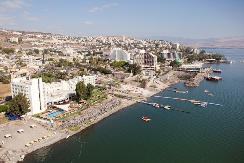
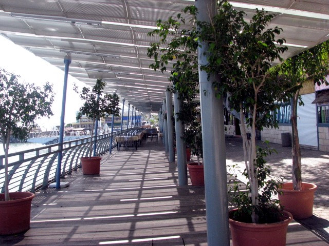
Below are some pictures of Tiberias. As in the previous articles, click at any picture in the gallery to see the gallery in full size, and then there you can move back and forward in the pictures.
Nowadays, Israel has become a desalination powerhouse, so the Kinneret Lake is responsible only for 30% of the country's need for potable water. Additional to that, the country has been pouring desalinated water into the lake in order to provide potable water to Jordan, which is also dependent of this reservoir, while keeping the level of the water in the lake high. This is especially important because in South Lebanon, Hezbollah has changed the course of one of the main springs of the Jordan river to prevent its water from going to Israel.
Hammei Tveria (or Hammat Tveria)
Hammei Tveria is Hebrew for Tiberias Hot Springs, one of the attractions that made Tiberias famous in the region many centuries ago.
At the springs, you may do a tour, receive explanations about the place, and bathe in the hot springs. A nice activity for a morning.
This is the time we will leave Tiberias to explore the Northwest of the Kinneret Lake. Our first stop will be at the Arbel Cliff.
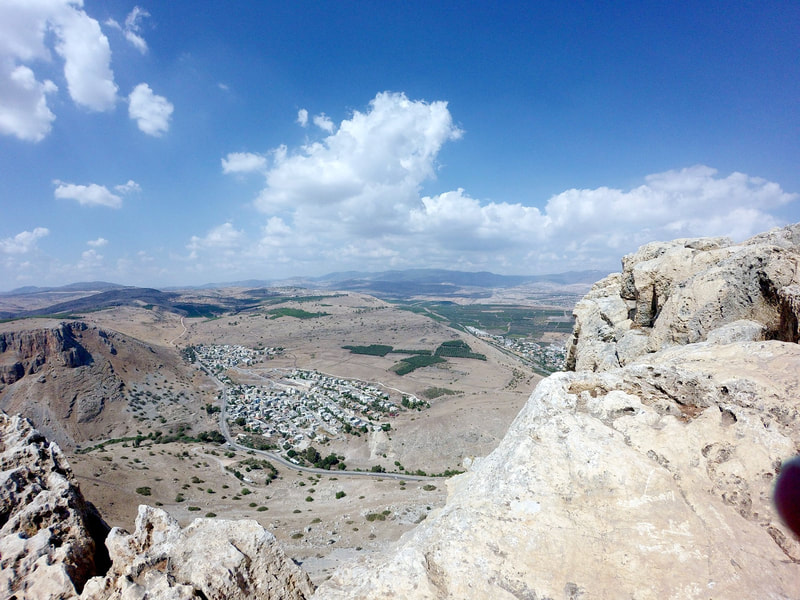
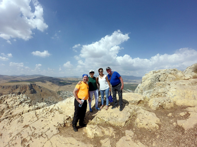
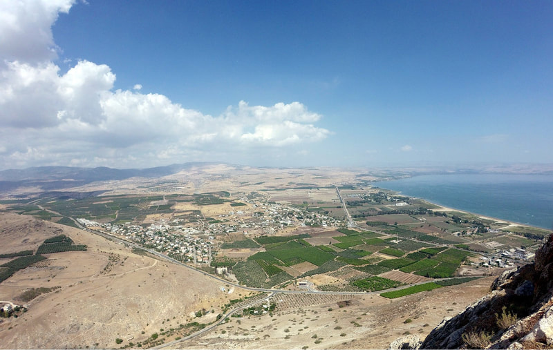
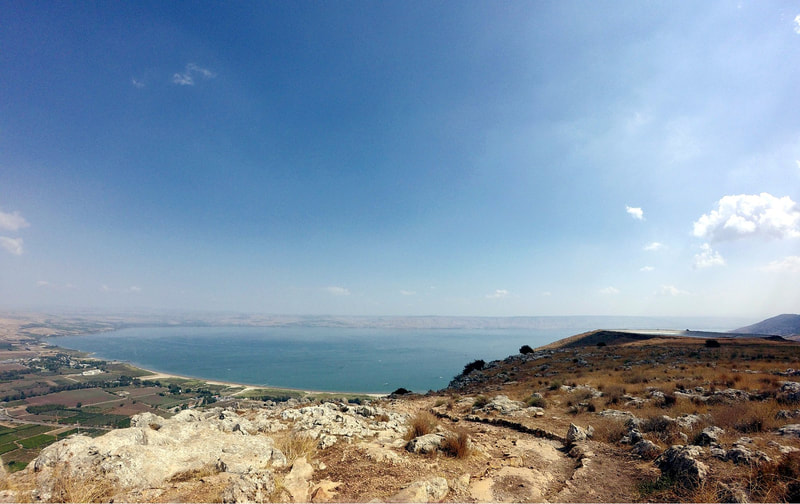
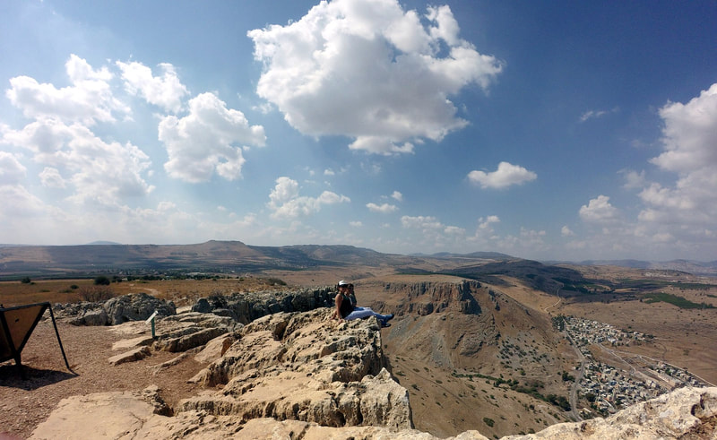
The Arbel Cliff is, as its name says, a cliff with a magnificent view of the Lower Galilee. The place is natural and provides a good walk and a stunning view. You can sit there and watch the beautiful Kinneret Lake from the top, and if you are lucky and the day is clear, your view will go much further than the lake.
Here are some pictures of the place and the map how to get there. As in the other articles, click at the "More Options" if you want to see the map with all options at the Google Maps sites.
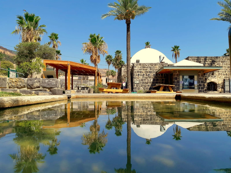
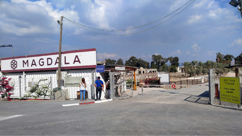
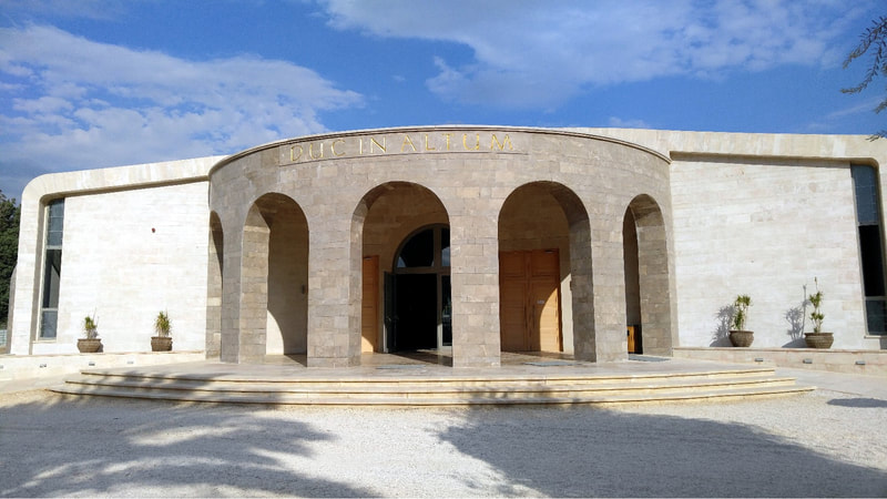
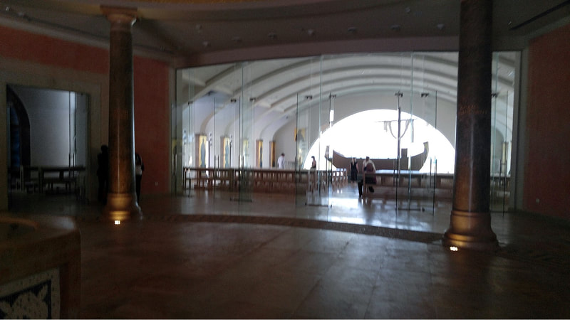
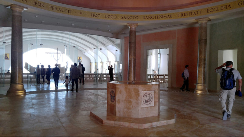
Magdala was an ancient Jewish city on the shore of the Sea of Galilee, 3 miles north of Tiberias. In the Babylonian Talmud it is known as Magdala Nunayya, and which some historical geographers think may refer to Tarichaea, literally the place of processing fish. It is believed to be the birthplace of Mary Magdalene.
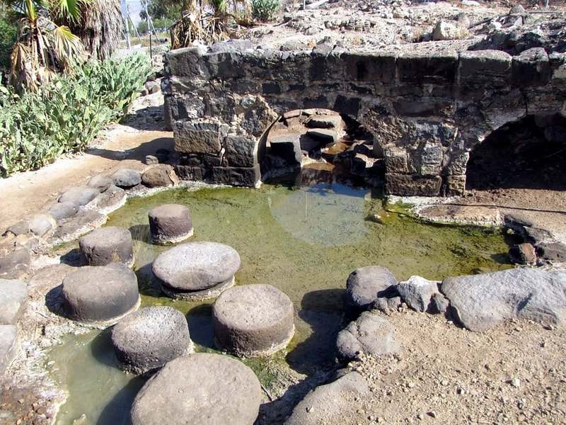
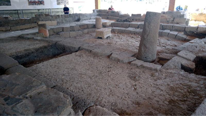
There are two interesting spots to visit there, one beside the other. First is the archaeological excavation of an ancient village that used to be there.
We can find in Wikipedia details about the excavation:
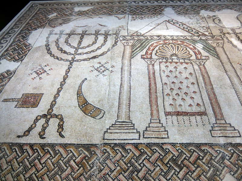
Archaeological excavations on behalf of the Israel Antiquities Authority (IAA) conducted in 2006 found that the settlement began during the Hellenistic period (between the second and first centuries BCE) and ended during the late Roman period (third century CE).[2] Later excavations in 2009–2013 brought perhaps the most important discovery in the site: an ancient synagogue, called the "Migdal Synagogue", dating from the Second Temple period. It is the oldest synagogue found in the Galilee, and one of the few synagogues from that period found in the entire country, as of the time of the excavation. They also found the Magdala stone, which has a seven-branched menorah symbol carved on it. It is the earliest menorah of that period to be discovered outside Jerusalem.[3].
As archaeologists continued to dig, they discovered an entire first century Jewish town lying just below the surface. The excavation revealed multiple structures and four mikvaot (plural of mikvah or mikveh). In 2021, another synagogue from the same period was discovered at Magdala.[4]
A collapse layer from the Second Temple period supported the narrative presented by Josephus regarding the Roman destruction of Magdala during the First Jewish–Roman War.[2] Excavations show that after the destruction, during the Byzantine and Early Islamic periods, the city moved slightly to the north.[2]
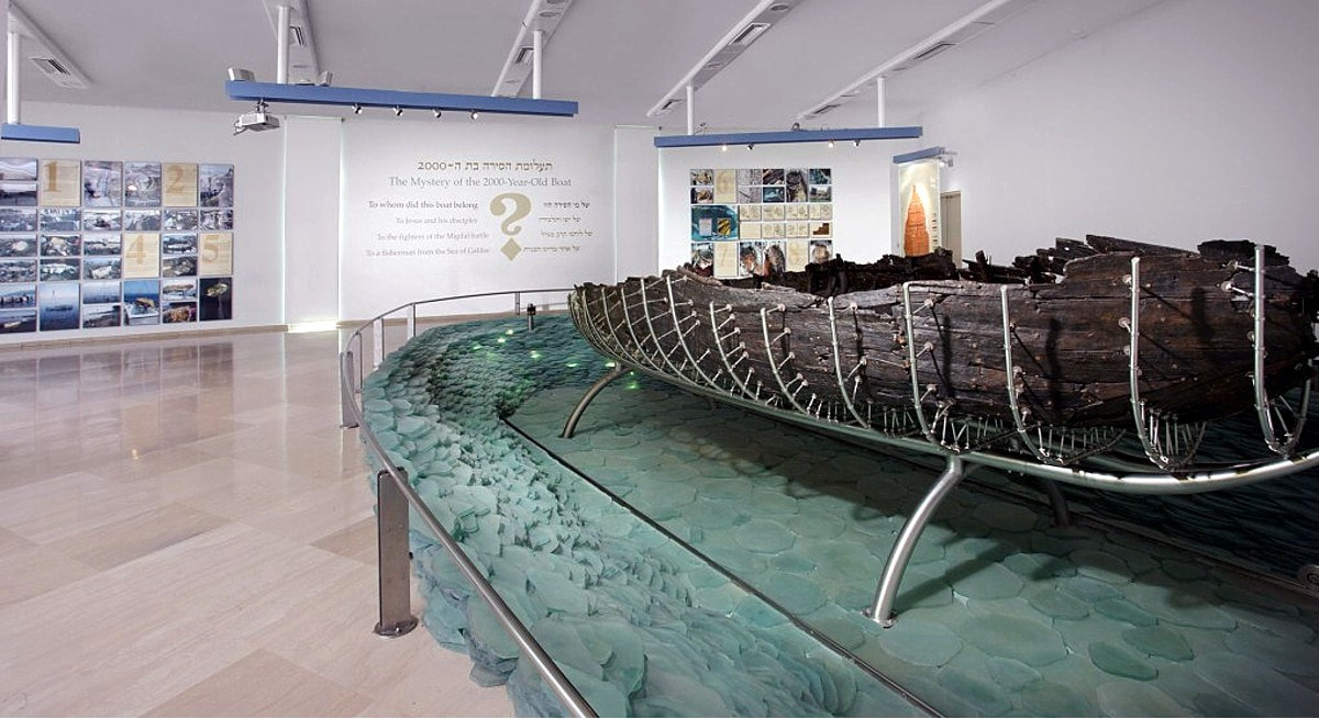
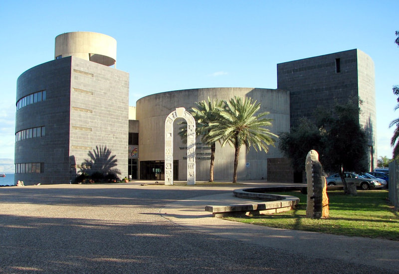
The Yigal Alon Center was established in 1986 as part of an association to preserve the legacy of Yigal Alon: the commander, the statesman, a social architect in the State of Israel and a man of the kibbutz. Alon's worldview and values inspire the association's activities in a number of key fields: the field of designing the national memory - a museum and the "Preservation for Generations" program and the field of cooperation among citizens, organizations and communities that identify with the association's goals. Additionally, the education for society - an educational center and long-term special programs.
The museum is an interesting visitation, for getting to know this historic person and specially because it contains the oldest boat ever retrieved from the deep of the Kinneret Lake.
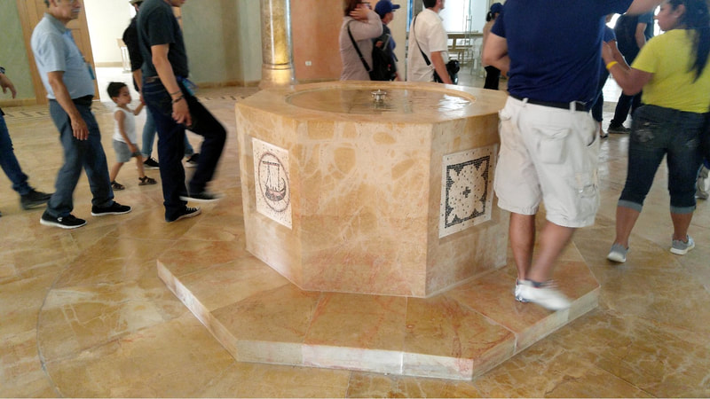
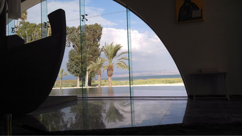
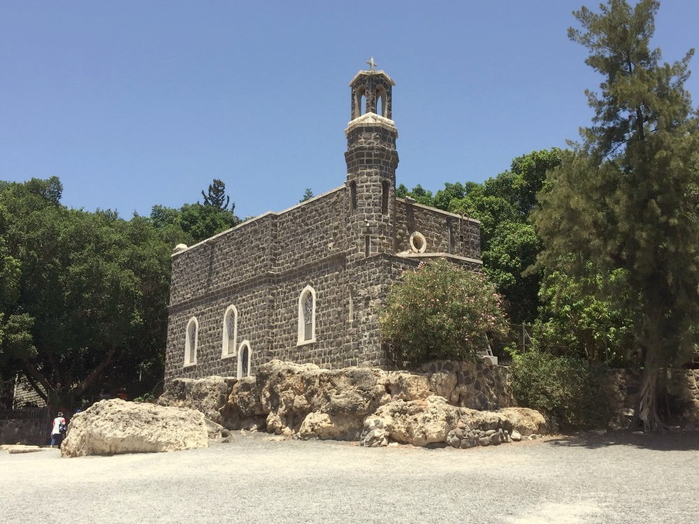
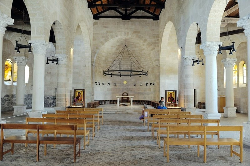
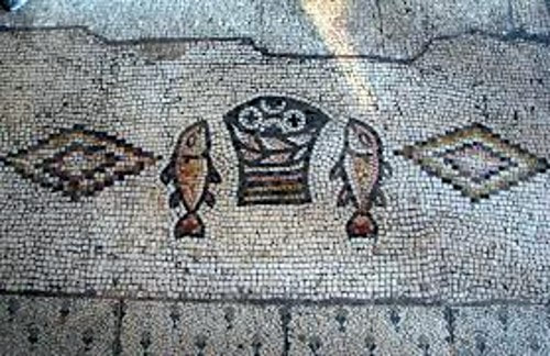
Tabgha is traditionally accepted as the place of the miracle of the multiplication of the loaves and fishes and the fourth resurrection appearance of Jesus after his Crucifixion.
From Wikipedia:
Tabgha (Arabic: الطابغة, al-Tabigha; Hebrew: עין שבע, Ein Sheva which means "spring of seven") is an area situated on the north-western shore of the Sea of Galilee in Israel and a depopulated Palestinian village. It is traditionally accepted as the place of the miracle of the multiplication of the loaves and fishes (Mark 6:30-46) and the fourth resurrection appearance of Jesus (John 21:1-24) after his Crucifixion. The village population was expelled in 1948 during Operation Broom.
The site's name is derived from the Greek name Heptapegon ("seven springs"). The name was later shortened to "Tapego", and was eventually changed to "Tabgha" in Arabic, since Classical Arabic has no p, g and o sounds and replaces these sounds by b, gh and a or u. St. Jerome referred to Heptapegon as "the wilderness/lonely place" (erêmos, as the location is also described in the Gospels).
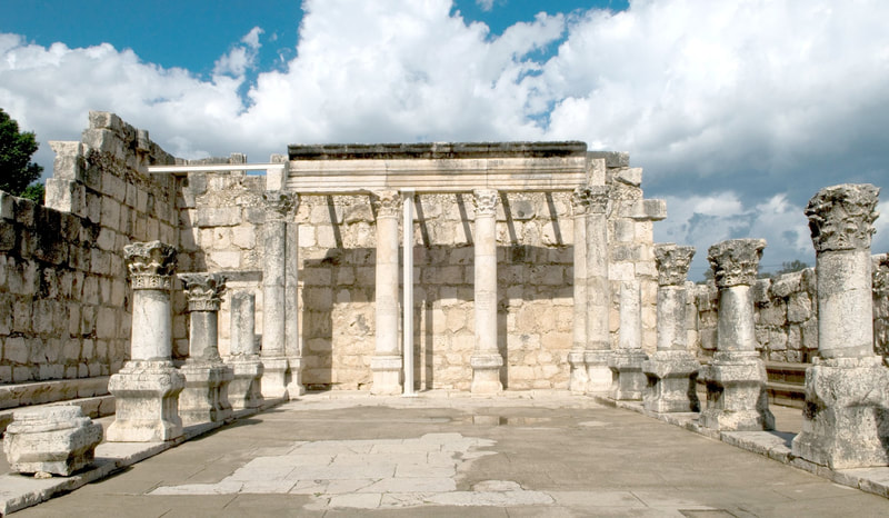
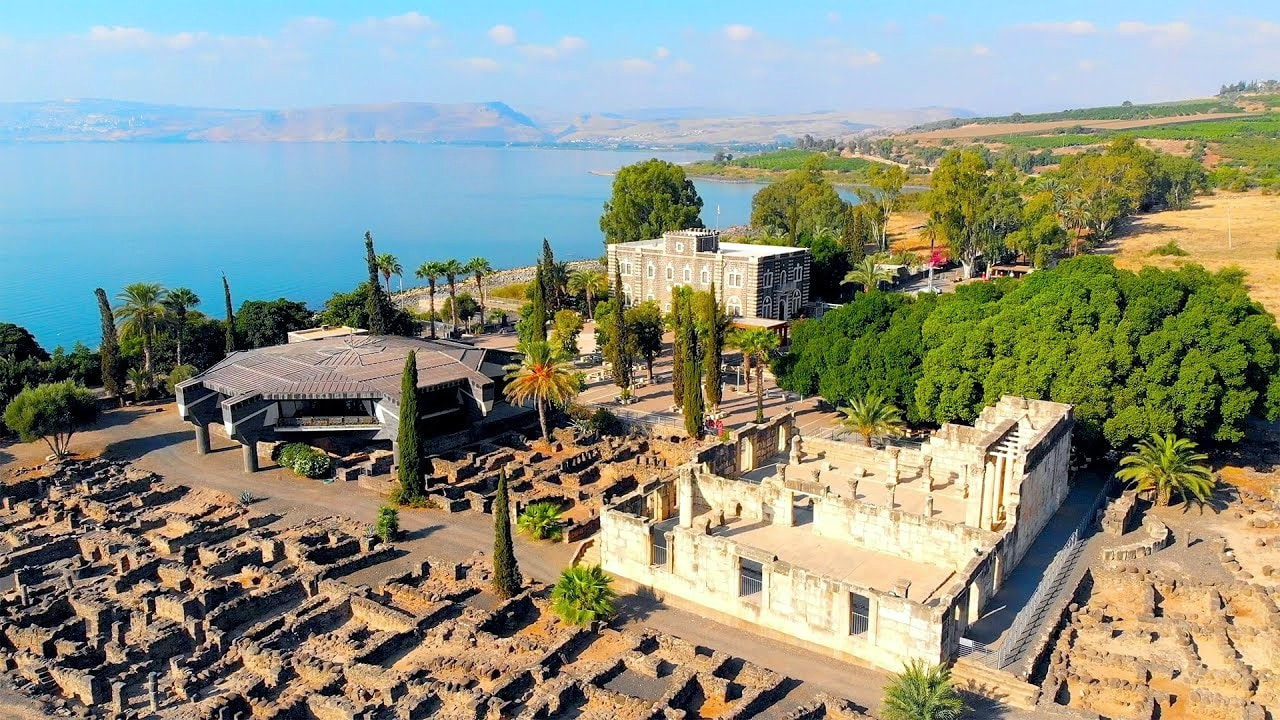
Capernaum, or Kfar Nahum in Hebrew, is a fishing village which was inhabited continuously from the second century BC to the 11th century AD, when it was abandoned sometime before the First Crusade.[5] This includes the re-establishment of the village during the Early Islamic period soon after the 749 earthquake.
In the excavations two synagogues were discovered, one over the other. As well, a house which was turned into a church has been discovered, and this is believed to be the house of St. Peter.
At the site, one can visit the modern St. Peter's Church, and the archaeological excavation. Nearby the same site can be found the Kfar Nahum beach, and you can take some time to go and bath at the sweet waters of the Kinneret Lake. After all, you wouldn't be intending to visit the region without entering the waters of the Sea of Galilee, right?
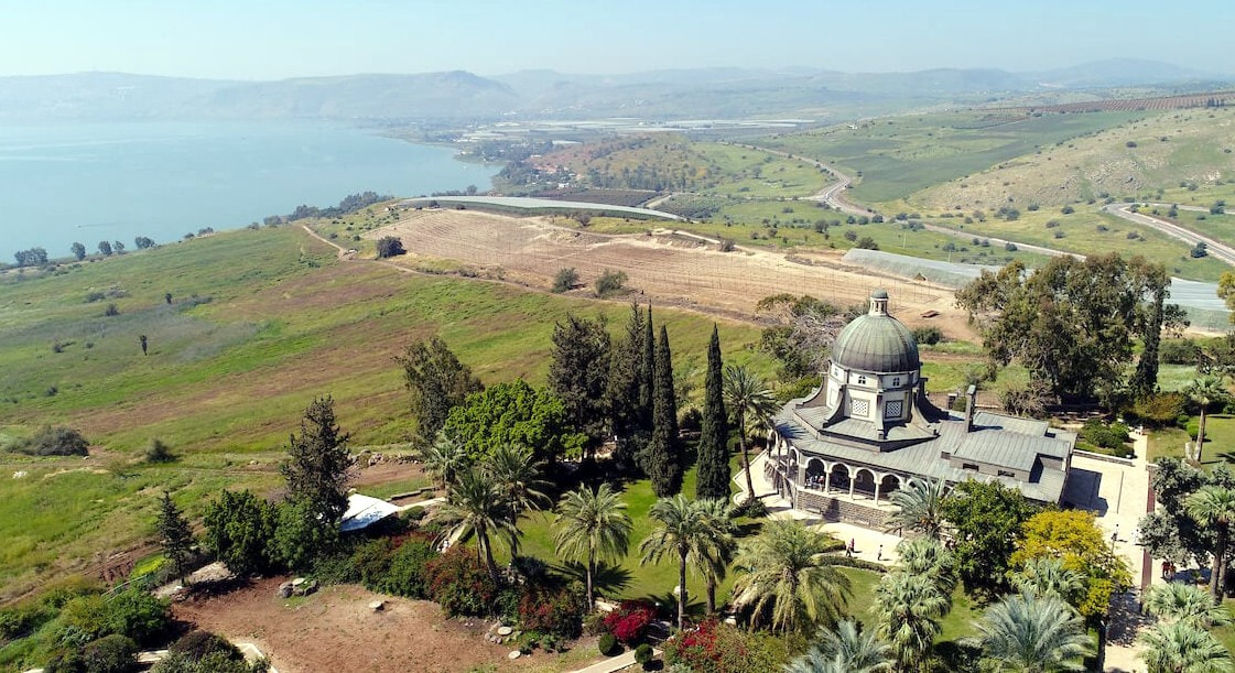
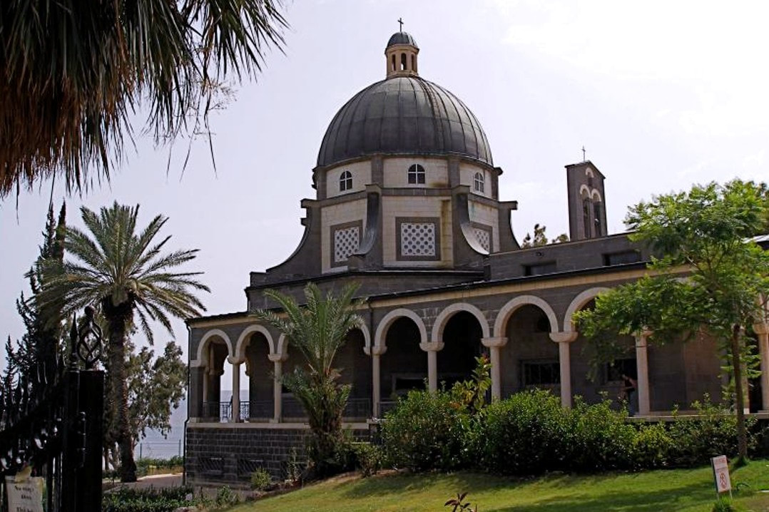
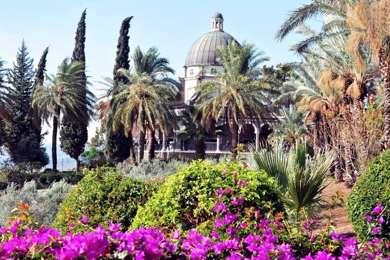
Here is one more site from which you can have a stunning view of the Kinneret Lake, from a beautiful garden that goes around the church located there and down the mountain.
From Wikipedia:
The site known as the Mount of Beatitudes is on the northwestern shore of the Sea of Galilee, between Capernaum and the archeological site of Gennesaret (Ginosar), on the southern slopes of the Korazim Plateau. Its negative altitude (around 25 metres below sea level, nearly 200 metres above the Sea of Galilee) makes it one of the lowest summits of the world.[1] This site, very near Tabgha and also known as Mount Eremos,[2] has been commemorated for more than 1600 years. Other suggested locations for the Jesus' Sermon on the Mount have included the nearby Mount Arbel, or even the Horns of Hattin.
A Byzantine church was erected lower down the slope from the current site in the 4th century, and it was used until the 7th century. Remains of a cistern and a monastery are still visible. The current Roman Catholic Franciscan chapel was built in 1937-38 following plans by Italian architect Antonio Barluzzi.
Pope John Paul II celebrated a Mass at this site in March 2000. The Jesus Trail pilgrimage route connects the Mount to other sites traditionally associated with the life of Jesus.[2][3]
However, the issue is not so much locating the biblically unidentified site of the Sermon on the Mount or identifying the churches built on the location throughout history but determining whether or not such a "sermon" by Jesus of Nazareth actually occurred. The consensus of mainline scholars is that the "sermon" is a literary construct by the writer of the Gospel of Matthew drawn from the sayings and teachings of Jesus scattered throughout the Gospel of Mark and from the non-Markan material that Matthew has in common with Luke (Q), along with Matthew's own, unique source or sources (M).[4] If, as is likely the case, there was no such "sermon," any debate or discussion concerning its geographical location or its place in the chronology of Jesus' career is superfluous.
The site is open from 8am-11:30am & 2:30pm-4:40pm and admission is 5 shekels (approx $2USD) per car or free if on foot. So, one can choose if you prefer to go in with the motorcycle or leave the motorcycle at the gate and enter on foot.
At this point my suggestion is that we end our first day in the lower Galilee. We have been through a number of sites in Tiberias and along the Northwest coast of the Kinneret Lake. Depending on the time you have left until the end of the day, you can enjoy one of the open shores of the Kinneret Lake to swim a little at the lake, your hotel facilities, or the city of Tiberias.
Another option is to arrange a visit to Berenice Winery in Tiberias (if you prefer you can also book your accommodation there instead of in a hotel), and maybe do a wine tasting or a wine workshop.
Day 2: The South of the Lower Galilee
We are beginning day two of our tour at the Lower Galilee. Today we are going South of Tiberias, visiting some interesting sites, and ending our day back at the center of the country.
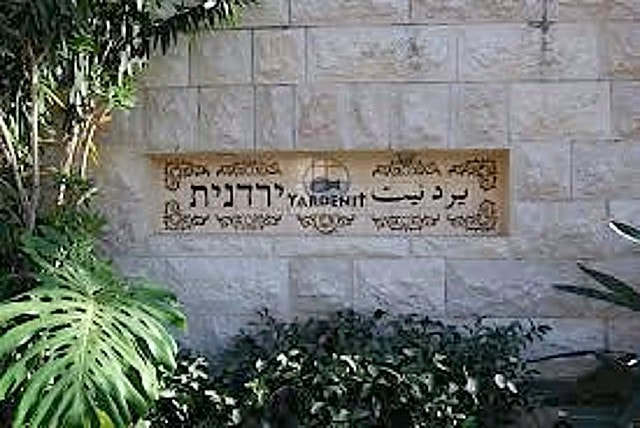
Switzerland Forest and Yardenit site
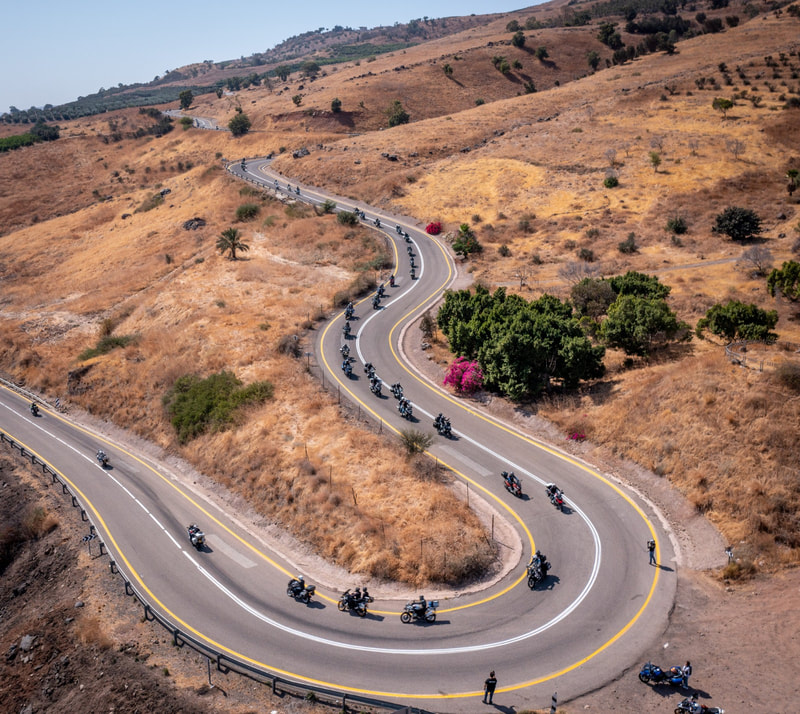
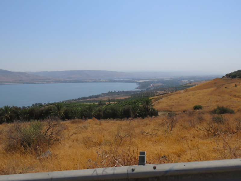
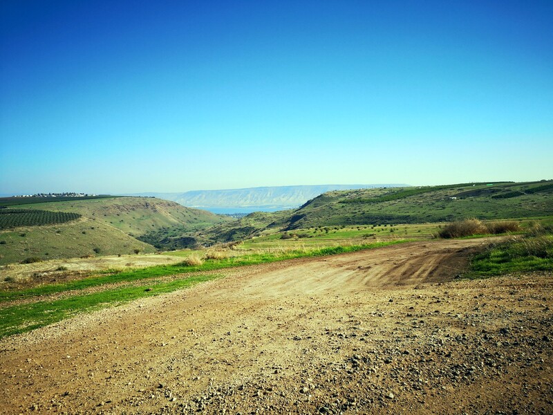
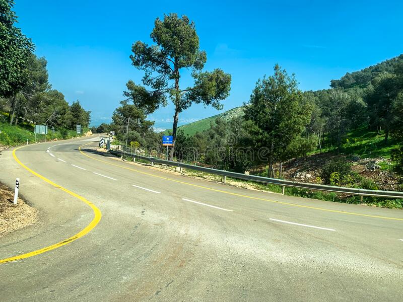
Our first stop will be at the Yardenit site, but instead of taking the straight-ahead shore road, we will climb a little up to go there through the mountains around the Kinneret Lake and visit the Switzerland Forest. The road that goes inside the Switzerland Forest is a remarkably interesting and beautiful road, and if you decide to leave your accommodation without having breakfast, you can stop for a breakfast picnic there.
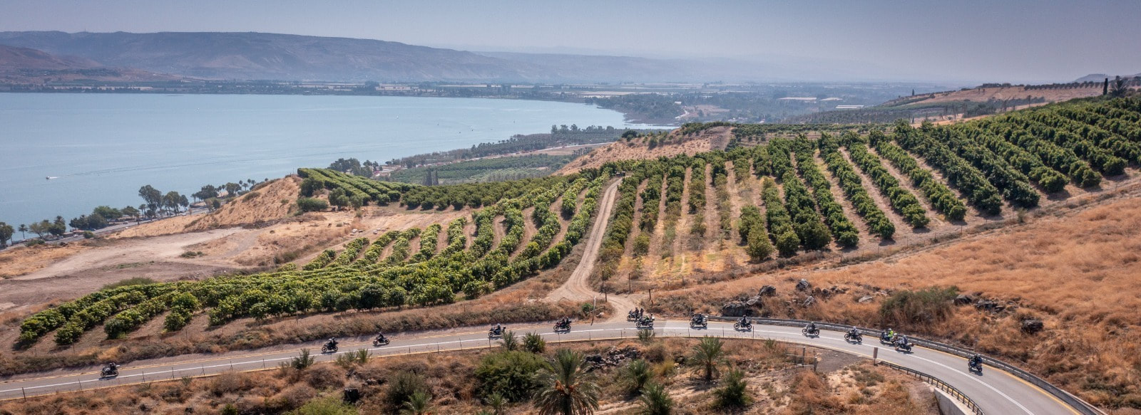
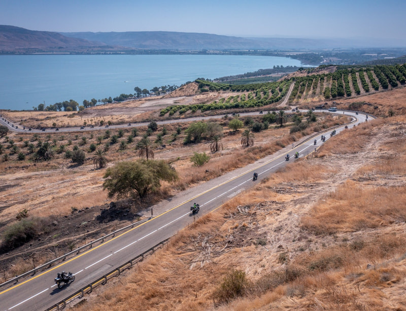
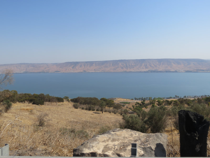
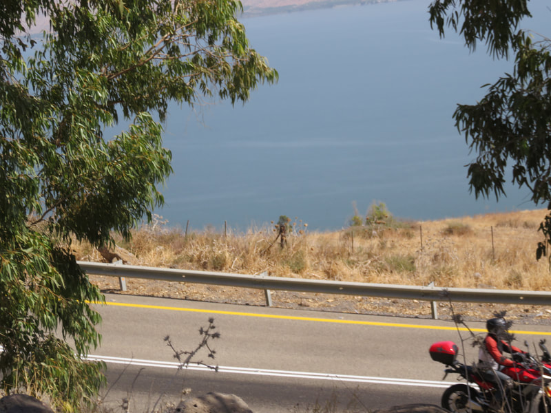
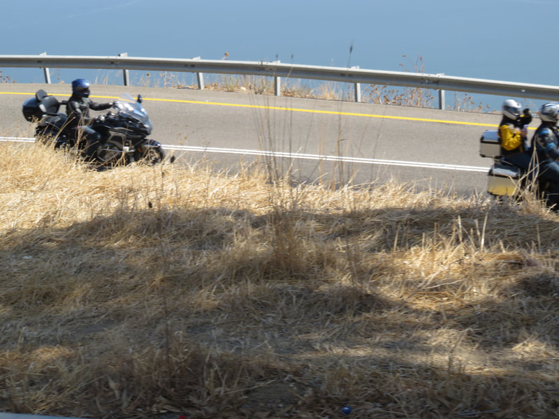
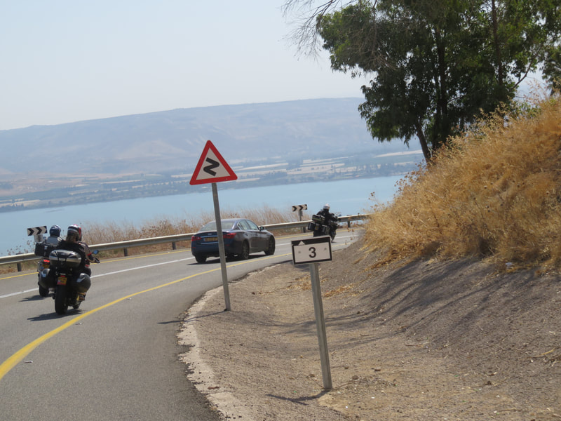
But things become really beautiful when you begin riding down from Switzerland Forest in the direction of the lake. The views from that road are simply stunning.
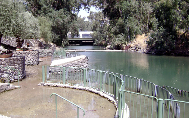
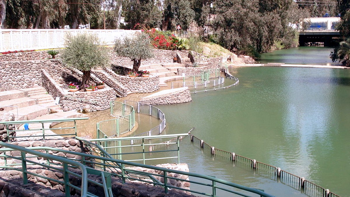
For many years it was believed in Israel that this site was the site of the baptism of Jesus in the Jordan river. So, it was an extremely popular tourism point for Christian visitors. But the location of the site did not go well with the history of the baptism and where the relevant people were at the moment of the baptism. Later on, it was discovered that the accepted real site was further South in a place called Qasr el-Yahud (at the Israeli side of the Jordan River) or Al Maghtas (at the Jordanian side), almost at the Dead Sea. Again, also regarding this site, there is no real proof that Jesus was baptized there, but rather a long tradition coming from the Byzantine days.
We will talk about Qasr el-Yahud when we are talking about the Dead Sea in one of the future articles. At the moment, let's focus on Yardenit.
Despite the discovery of the alternate site, Yardenit continues to be until today a popular site for the Christian visitors, due to two main points:
1. Visitors are doing their baptisms (or bathing) at the same Jordan river waters that were used by Jesus, just doing it some dozens of Kilometers northern than were it was most probably done.
2. The place is much more accessible and much more secure than Qasr el-Yahud.
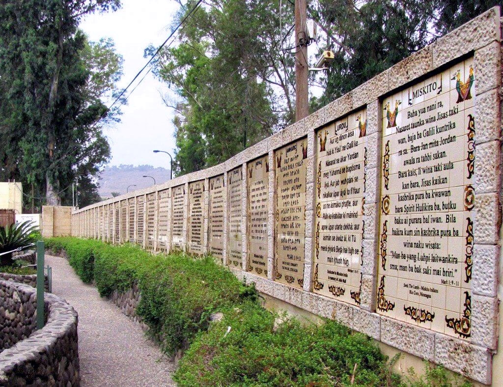
You will find there all the necessary infrastructure for a nice visit, a souvenir shop, and an interesting site with walls in all languages to read.
The Yardenit site was our last site at the Kinneret Lake, but not the last time we will be seeing it.
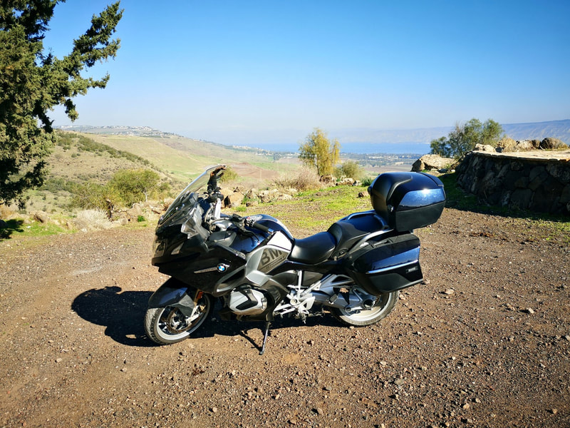
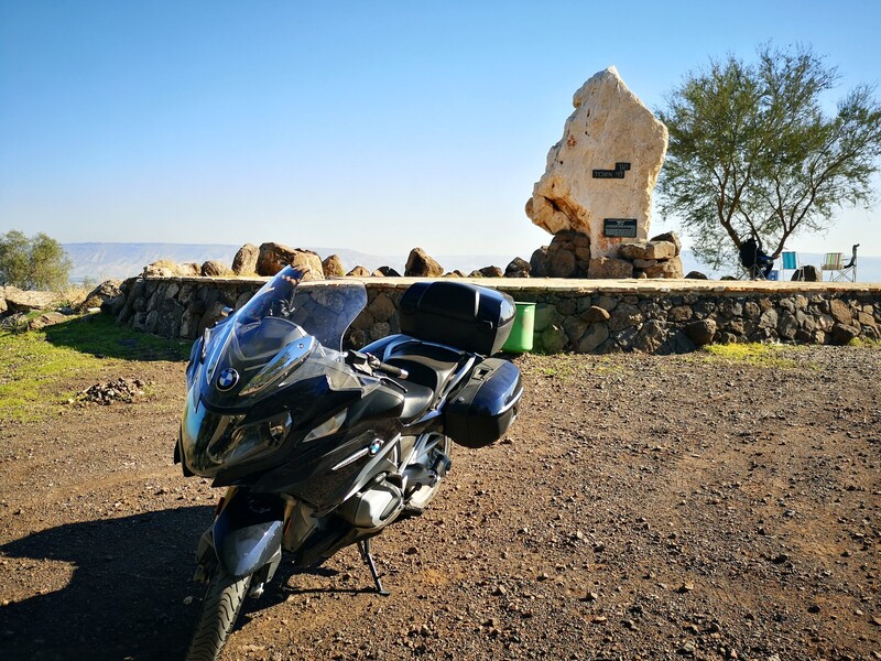
From Yardenit, we will be going up at the road to Menahamiya Forest, where we will find the Levi Eshkol Lookout Point, a memorial to Levi Eshkol (1895-1969), Israel's third prime minister.
I have no data about why the memorial was chosen to be at this remote point, but there was a legend that Eshkol was a fan of birdwatching, and this point is called in Hebrew Mitzpor Levi Eshkol. Being Mitzpor the word in Hebrew that mean birdwatching point, it makes sense.
To arrive there, we will begin at Yardenit at a side road that goes in parallel with the Jordan river, and at a certain point near Menahamiya take a right. Then the road will become a terrain trail, but no worries, it is an easy trail that any rider can easily do.
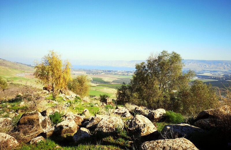
From there, the view of entire Jordan Valley (Emek HaYarden) extends below us, including the Kinneret Lake and Kibbutz Degania Bet, of which Eshkol was one of the founders.
Our next stop will be the delight of those that like ancient fortresses.
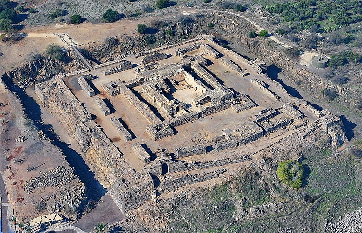
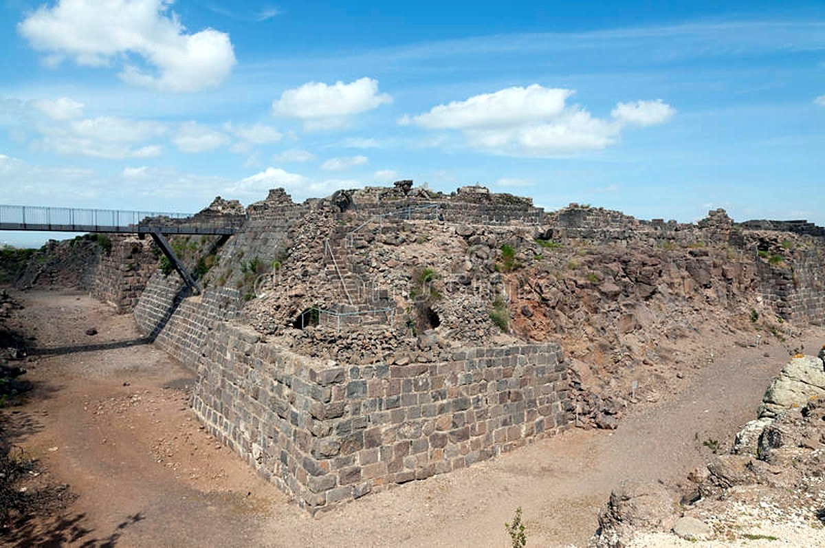
Kochav HaYarden or the Belvoir Fortress is just there to be visited, 25 minutes away from our last stop at the Lookout Point. The Belvoir Fortress is a complete Crusader castle, one of a kind in Israel, overlooking the Jordan Valley and the Gil’ad from the heights of the Lower Galilee. If you know when you will be there, you can reserve a visit by clicking here. Otherwise, just arrive there and check if you can go in.
The fortress is open in summertime from Sunday to Thursday - and Saturdays - from 8:00 to 17:00 (16:00 in the winter), and on Fridays and Holiday evenings from 8:00 to 16:00 (15:00 in the winter). Adult ticket is 22 shekels (around 6 USD at the time of this writing).
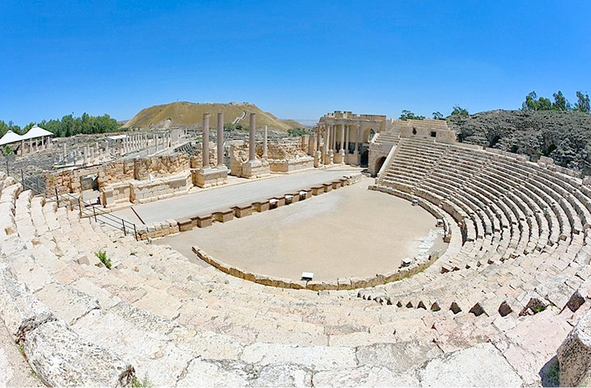
The Bet She’an National Park contains the archaeological excavations of the ruins of the biblical, the Roman and Byzantine city of Bet She’an.
The park is open in the summer Sun-Thu and Saturdays from 8:00-17:00 and Fridays 8:00-16:00. In the winter, opening hours are the same but closing hours are 1hr earlier. Entry price for adults is NIS 28, equivalent to USD 8 at the time of this writing.
The main points of interesting at the site are the following (taking from the site's website):
- She’an Nights – a breathtaking audiovisual display taking place after sunset.
- The entrance plaza – model of the Roman-Byzantine city and view of the site.
- Roman theater – the spectacular remains and reconstruction of the 2nd century CE theater.
- Western bathhouse – the ruins of the large bathhouse of Bet She’an, in use during the Byzantine period. The remains of the bathhouse offer an opportunity to get to know this aspect of life at that time.
- The reconstructed cardo (Palladius Street) – a street paved with basalt stone slabs, approximately 150 m in length. Along the length of the street are the remains of columns and impressive buildings.
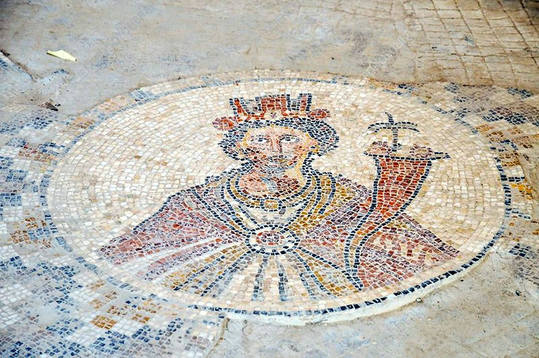
- The Sigma and the Tyche mosaic – a semicircular plaza that was the site of commerce and entertainment. In one of the rooms around the plaza is a mosaic depicting the figure of Tyche, goddess of the city’s fortune.
- The Roman temple – the ruins of a large temple. The four huge columns of the facade collapsed in the 749 earthquake, and since then have remained lying on the ground as they fell.
- The propyleum (monumental gateway) – the remains of a gateway with three entrances. Processions would apparently enter through this gateway on their way to the temple that stood atop the tel.
- The nymphaeum – the remains of a splendid, decorated public fountain.
- The central monument – the remains of the building that stood at the intersection of the main streets of the city of Bet She’an during the Roman and Byzantine periods.
- The decumanus (Sylvanus Street) – a basalt-paved street. On either side of the street are the ruins of shops and a large pool.
- The Basilica (agora) – the remains of the open market of the Byzantine period.
- Valley street – the street is paved with basalt slabs and leads to the “truncated bridge” extending over Harod Stream.
- The Truncated Bridge – the remains of an impressive Roman-era bridge that led to the northern gate of Bet She’an during the Byzantine and Roman periods.
- Tel Bet She’an – the remains of the Biblical tel. From the top of the tel is a spectacular view of Bet She’an and the Valley of Springs (Emek Hama’ayanot).
- The eastern bathhouse – a large bathhouse that has been partially uncovered, between Sylvanus Street and the theater.
- Public latrine – a building and colonnaded courtyard. 57 toilet seats are set in the walls of the courtyard.
- Ritual compound – a religious complex with a temple, altars, and nymphaeum fountain.
Most of the riding from Kochav Ha Yarden to here will be done via Road 90, a comfortable road to ride. The ride will take around 25 minutes.
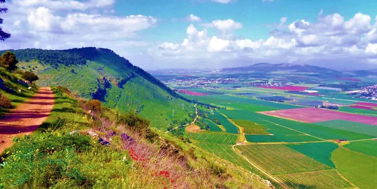
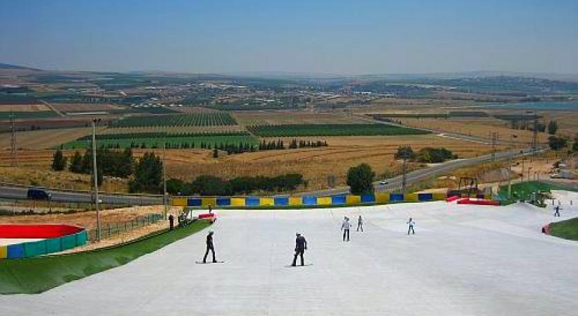
If our last two stops were for archaeological sites, at this next stop we will be back to nature. The Gilboa Scenic Road runs through the Gilboa Reserve, which is situated in the east ridge of MoGilboa and and extends from Highway 6666 East (route from Beit Alfa toward Ma’aleh Gilboa) to Saul Mount in the West. It is also known as Road 667, which connects the Tel Jezreel area (near the artificial ski resort) to Ma’aleh Gilboa.
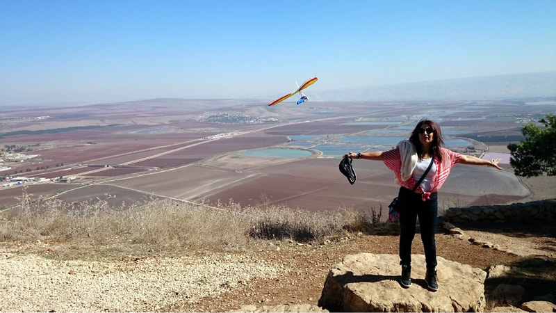
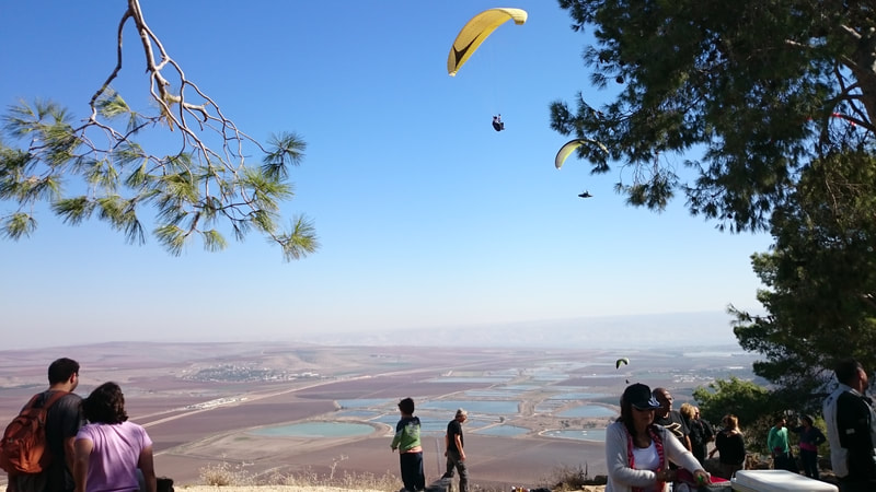
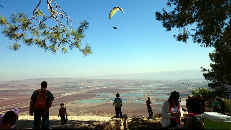
If you are lucky and come in a day of good winds (there are many like that in the Israeli summer), you will probably want to stop at Mount Shaul and see all the paragliding enthusiasts that jump from there. You will also be able to walk in the reserve's forest and enjoy the view.
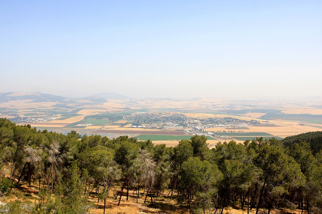
The trip there is a very enjoyable trip. We will leave Beit She'an with Road 6667, which will join Road 669 after some Kilometers, and take the right to continue with Road 669. After the Gan HaShelosha National Park, we will take a left to road 6666, in which we will continue until we enter the Gilboa Reserve and see a junction with Road 667. We will take a right there, and Road 667 will take us along the park. Along the road there are picnic tables, and they are a wonderful place to stop and eat a snack with a splendid view. Continue to Mount Shaul and stop there, from there you will contemplate the stunning scenery of the Yizre'el Valley, and in the best case also see a paragliding show.
Another option in the area is to take a chance at the artificial ski slope there.
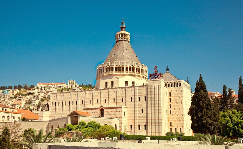
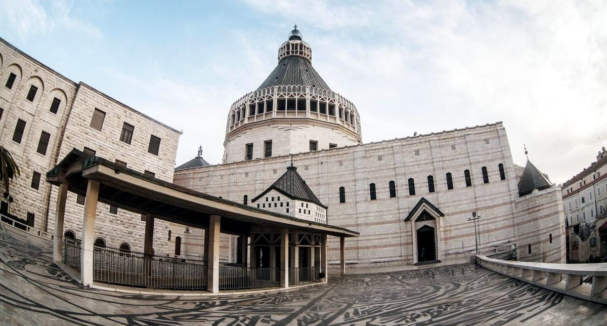
Our last stop for today will be the Basilica of the Annunciation, or Church of Annunciation, in the city of Nazareth. It is considered to be the place where angel Gabriel appeared and announced to Mary that she would give birth to Jesus.
From Wikipedia:
The Church of the Annunciation (Latin: Basilica Annuntiationis, Arabic: كنيسة البشارة, Hebrew: כנסיית הבשורה), sometimes also referred to as the Basilica of the Annunciation, is a Catholic church in Nazareth, in northern Israel. It is one of two claimants to the site of the Annunciation – in which angel Gabriel appeared to the Virgin Mary and announced that she would give birth to Jesus – the other being the Greek Orthodox Church of the Annunciation.[1][2]
It was established over what Catholic tradition holds to be the site of the house of the Virgin Mary.
A visit to the basilica can take from 30 minutes to 1.5 hours, depending on your interest in the visit.
To get there, we will continue straight on road 667 after visiting Mount Shaul, and turn right at the end of the park, when it meets road 65. We will continue on road 65 until after the city of Afula, when it meets road 60. Take a left on Road 60 and continue on it until you enter the city of Nazareth. The church is in the center of the city. The ride time will be around 50 minutes.
After the visit to the basilica, we can either take a hotel in Nazareth (there is at least one good hotel there), or just take the bikes and ride back to Tel Aviv to spend the night there before we continue to our rides at the center of Israel. The ride to Tel Aviv is of 104 Kilometers and should take around 1hr40m. The map is below.
Tel Aviv, the city that never sleeps, is a city full of entertainment places, and you will always find what to do there. Good suggestions are visiting the Sarona neighborhood and Old Jaffa. On the way to Old Jaffa, you can also stop at the Old Train Station and visit there, it is also an interesting site. Also, a visit to the Tel Aviv port is recommended for entertainment.




 RSS Feed
